3 Lowden Avenue, Liverpool, L21 9JE
About 3 Lowden Avenue
3 Lowden Avenue is a mid-terrace house in Liverpool (L21 9JE). It has a recorded floor area of 67 m² (around 721 sq ft), construction records dating it to 1930-1949 and council tax band B. The latest certificate (September 2019) shows a D (score 60), on the cusp of jumping into the C band. The rating has held steady at D across 2 certificates since March 2009. Between certificates, lighting went from Very Poor to Very Good; while wall efficiency dropped from Poor to Very Poor and roof efficiency dropped from Average to Very Poor. The recommended improvements would lift it to B (score 82), a 2-band jump.
At 67 m² it's 19.3% smaller than the typical home in the postcode (83 m² median across 11 EPCs).
Everything you need to know about 3 Lowden Avenue
The true value, the hidden risks and the full sale history, in one report.
30-day money-back guarantee

The data behind every report


Energy performance
Recommended upgrades on file would lift this property by multiple EPC bands.
EPC Rating
Property Improvements
Changes detected from historical EPC data
Heating controls upgraded for better temperature management
More low energy lighting installed
Planning history
3 Lowden Avenue has no planning applications on record.
Notable planning nearby
1applications of note in the surrounding area
Sales history & valuation
3 Lowden Avenue has no Land Registry sales on file, suggesting it has stayed in the same hands since registration began.
£141,000
Modelled from EPC, postcode comparables.
No sales recorded with HM Land Registry
That can mean the property has never traded since the registry began publishing in 1995, was a new build that hasn't been registered yet, or is held in the same hands long-term.
Median price across the last 5 sales in L21 9JE: £164,000 (2024–2021).
Nearby sales in L21 9JE
Versus other Lowden Avenue homes
On floor area, 3 Lowden Avenue runs well behind the street norm.
EPC Rating
60 (D)
Street avg 63 (D)
Floor Area
67 m²
Street avg 79 m²
CO₂ Emissions
3.7 t/year
Street avg 3.6 t/year
Habitable Rooms
4 rooms
Street avg 5 rooms
Everything you need to know about 3 Lowden Avenue
The true value, the hidden risks and the full sale history, in one report.
30-day money-back guarantee
The data behind every report
Similar properties nearby
1 Greenfield Lane
L21 9NP
1 Bridgewater Close
L21 9NS
1 Cumpsty Road
L21 9HX
1 Field View
L21 9NQ
1 Highfield Road, Litherland
L21 9NH
1 Lowden Avenue
L21 9JE
1 Barton Close
L21 9NT
1 Canal View Court, Field Lane, Litherland
L21 9QE
The neighbourhood at a glance
Reported crime in the wider district is trending notably upward year-on-year.
Crime
4/mo
Rising year-on-year across the wider district.
Nearest stop
0.1 km
Sonning Avenue — bus stop.
Closest school
0.2 km
Hatton Hill Primary School. 38 schools nearby.
Go deeper on the local area
The full report breaks down crime, transport links, schools and air quality in depth.
Road noise across the postcode
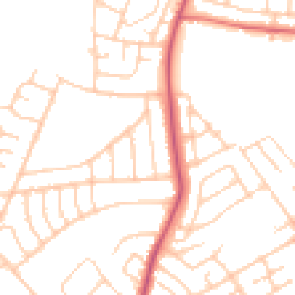
Daytime· 07:00 – 23:00
49.4dB

Night-time· 23:00 – 07:00
39.3dB