7 Lowden Avenue, Liverpool, L21 9JE
About 7 Lowden Avenue
7 Lowden Avenue is a mid-terrace house in Liverpool (L21 9JE). It has a recorded floor area of 67 m² (around 721 sq ft), construction records dating it to 1930-1949 and council tax band B. The latest certificate (October 2019) shows an E (score 53), well below the UK norm with real room to improve. The recommended improvements would lift it to C (score 77), a 2-band jump.
At 67 m² it's 19.3% smaller than the typical home in the postcode (83 m² median across 11 EPCs). On energy efficiency it sits in the bottom 10% of properties in this postcode — significant headroom for improvement. Today's modelled estimate of £166,000 is 16.9% above the 2024 sale price. On a £-per-square-foot basis, the last sale (£197/sq ft) was about 28.3% above the typical sold price in the postcode. Most recent transfer: November 2024 at £142,000.
Everything you need to know about 7 Lowden Avenue
The true value, the hidden risks and the full sale history, in one report.
30-day money-back guarantee

The data behind every report


Energy performance
7 Lowden Avenue sits at the bottom of the postcode for energy efficiency — meaningful headroom to improve.
EPC Rating
Planning history
7 Lowden Avenue has no planning applications on record.
Notable planning nearby
1applications of note in the surrounding area
Sales history & valuation
7 Lowden Avenue valuation sits well clear of the typical sold price in this postcode.
£166,000
Modelled from EPC, postcode comparables.
£142,000
Recorded with HM Land Registry.
Sales timeline
15 November 2024Most recent
£142,000
Median price across the last 5 sales in L21 9JE: £164,000 (2024–2020).
Nearby sales in L21 9JE
Versus other Lowden Avenue homes
7 Lowden Avenue is notably below the street on years held.
Price per m²
£2,119
Street avg £1,874
Floor Area
67 m²
Street avg 79 m²
Habitable Rooms
4 rooms
Street avg 5 rooms
CO₂ Emissions
4.0 t/year
Street avg 3.6 t/year
Everything you need to know about 7 Lowden Avenue
The true value, the hidden risks and the full sale history, in one report.
30-day money-back guarantee
The data behind every report
Similar properties nearby
1 Maple Court, Mitchell Crescent
L21 9PF
1 Canal View Court, Field Lane, Litherland
L21 9QE
1 Delph Court, Field Lane, Litherland
L21 9PJ
1 Barton Close
L21 9NT
1 Highfield Road, Litherland
L21 9NH
1 Lowden Avenue
L21 9JE
1 Caledonian Crescent
L21 9QA
1 Bridgewater Close
L21 9NS
The neighbourhood at a glance
Reported crime in the wider district is trending notably upward year-on-year.
Crime
4/mo
Rising year-on-year across the wider district.
Nearest stop
0.1 km
Sonning Avenue — bus stop.
Closest school
0.2 km
Hatton Hill Primary School. 38 schools nearby.
Go deeper on the local area
The full report breaks down crime, transport links, schools and air quality in depth.
Road noise across the postcode
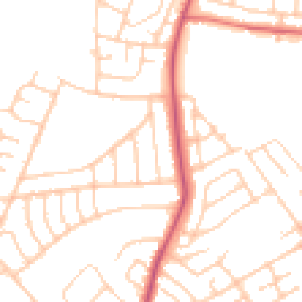
Daytime· 07:00 – 23:00
49.4dB

Night-time· 23:00 – 07:00
39.3dB