37 Lowden Avenue, Liverpool, L21 9JE
About 37 Lowden Avenue
37 Lowden Avenue is a three-bedroom mid-terrace house in Liverpool (L21 9JE). It has a recorded floor area of 83 m² (around 893 sq ft), construction records dating it to 1930-1949 and council tax band B. Tenure is freehold. The latest certificate (December 2013) shows a C (score 71). The recommended improvements would push it to B (score 88). The latest certificate is from December 2013, so improvements made since then won't be reflected.
At 83 m² it's 15.3% larger than the typical home in the postcode (72 m² median across 11 EPCs). Across 2014–2021, sale prices on this property compounded at 7.4% per year. Today's modelled estimate of £200,000 is 17.6% above the 2021 sale price. On a £-per-square-foot basis, the last sale (£190/sq ft) was about 22.8% above the typical sold price in the postcode. Sold October 2021 for £170,000. That sale was during the post-pandemic price surge, when transactions cleared materially above pre-2020 trend.
What this property has
Inside
- Bedrooms3
- StudyYes
Outside
- Private gardenYes
- DrivewayYes
Building
- TenureFreehold
- RefurbishedYes
Everything you need to know about 37 Lowden Avenue
The true value, the hidden risks and the full sale history, in one report.
30-day money-back guarantee

The data behind every report


Energy performance
37 Lowden Avenue's EPC is over a decade old — improvements since won't be reflected.
EPC Expired
This certificate is over 10 years old and is no longer valid.Expired 04 Dec 2023
EPC Rating
Planning history
37 Lowden Avenue has no planning applications on record.
Notable planning nearby
1applications of note in the surrounding area
Sales history & valuation
The latest sale landed in the post-pandemic price surge — useful context when reading the figure.
£200,000
Modelled from EPC, postcode comparables and a sale-price growth of 7.4% per year over 7 years.
£170,000
Growth on file: 7.4% per year over 7 years.
Sales timeline
28 October 2021Most recent
£170,000
+70.0%over 7 years29 May 2014
£100,000
Median price across the last 5 sales in L21 9JE: £142,500 (2024–2020).
Nearby sales in L21 9JE
Versus other Lowden Avenue homes
On epc rating, 37 Lowden Avenue stands well clear of the street.
Price per m²
£2,048
Street avg £1,882
Floor Area
83 m²
Street avg 78 m²
Habitable Rooms
5 rooms
Street avg 5 rooms
CO₂ Emissions
2.7 t/year
Street avg 3.7 t/year
Everything you need to know about 37 Lowden Avenue
The true value, the hidden risks and the full sale history, in one report.
30-day money-back guarantee
The data behind every report
Similar properties nearby
1 Eltham Avenue
L21 9LL
1 Newlyn Avenue, Litherland
L21 9LD
1 Brindley Close
L21 9NR
1 Enstone Avenue
L21 9LH
1 Lowden Avenue
L21 9JE
1 Litherland Park
L21 9HP
1 Greenfield Lane
L21 9NP
1 Canal View Court, Field Lane, Litherland
L21 9QE
The neighbourhood at a glance
Reported crime in the wider district is trending notably upward year-on-year.
Crime
4/mo
Rising year-on-year across the wider district.
Nearest stop
0.1 km
Sonning Avenue — bus stop.
Closest school
0.2 km
Hatton Hill Primary School. 38 schools nearby.
Go deeper on the local area
The full report breaks down crime, transport links, schools and air quality in depth.
Road noise across the postcode
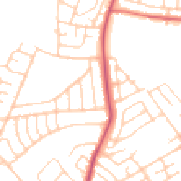
Daytime· 07:00 – 23:00
49.4dB
Night-time· 23:00 – 07:00
39.3dB