33 Lowden Avenue, Liverpool, L21 9JE
About 33 Lowden Avenue
33 Lowden Avenue is a mid-terrace house in Liverpool (L21 9JE). It has a recorded floor area of 109 m² (around 1173 sq ft), construction records dating it to 1930-1949 and council tax band B. The latest certificate (June 2021) shows a C (score 69), just inside the C band. The recommended improvements would push it to B (score 86).
At 109 m² the property is well over the postcode median (72 m² across 11 EPCs), placing it in the larger end of the local stock. One planning record on file: an extension approved in 2005. Past consents include an extension, meaningful when judging how the property has evolved. Today's modelled estimate of £216,000 is 20% above the 2021 sale price. Sold August 2021 for £180,000. That sale was during the post-pandemic price surge, when transactions cleared materially above pre-2020 trend.
Everything you need to know about 33 Lowden Avenue
The true value, the hidden risks and the full sale history, in one report.
30-day money-back guarantee

The data behind every report


Energy performance
EPC Rating
Planning history
33 Lowden Avenue has an approved single-storey rear extension on the planning record.
- Dec 2005ExtensionFullIn report
Extension: Single storey · Rear of property
Erection of a single storey extension at the rear of the dwelling house
- Reference
- S/2005/1145
What's in 33 Lowden Avenue, Liverpool, L21 9JE's planning history?
Refusals, disputes and full decisions on this property and nearby, in the report.
Sales history & valuation
Latest sale on 33 Lowden Avenue was the highest on Land Registry record across the postcode.
£216,000
Modelled from EPC, postcode comparables.
£180,000
Recorded with HM Land Registry.
Sales timeline
22 August 2021Most recent
£180,000
Median price across the last 5 sales in L21 9JE: £142,500 (2024–2020).
Nearby sales in L21 9JE
Versus other Lowden Avenue homes
On floor area, 33 Lowden Avenue stands well clear of the street.
Price per m²
£1,651
Street avg £1,926
Floor Area
109 m²
Street avg 75 m²
Habitable Rooms
6 rooms
Street avg 5 rooms
CO₂ Emissions
3.9 t/year
Street avg 3.6 t/year
Everything you need to know about 33 Lowden Avenue
The true value, the hidden risks and the full sale history, in one report.
30-day money-back guarantee
The data behind every report
Similar properties nearby
The neighbourhood at a glance
Reported crime in the wider district is trending notably upward year-on-year.
Crime
4/mo
Rising year-on-year across the wider district.
Nearest stop
0.1 km
Sonning Avenue — bus stop.
Closest school
0.2 km
Hatton Hill Primary School. 38 schools nearby.
Go deeper on the local area
The full report breaks down crime, transport links, schools and air quality in depth.
Road noise across the postcode
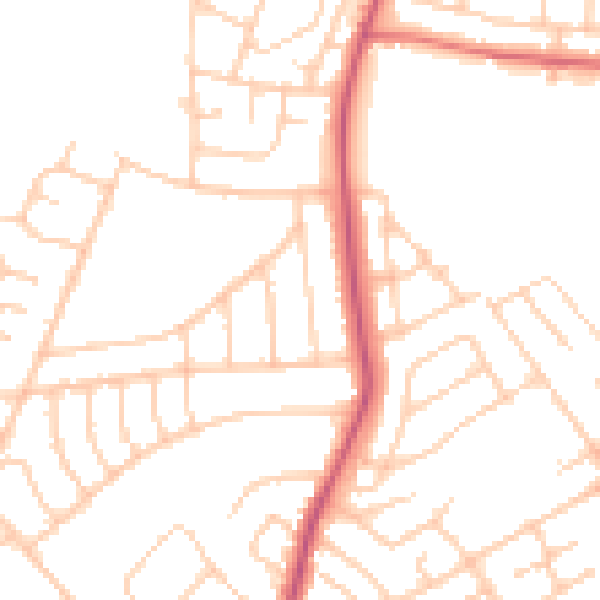
Daytime· 07:00 – 23:00
49.4dB

Night-time· 23:00 – 07:00
39.3dB