1 Amos Avenue, Liverpool, L21 7QH
About 1 Amos Avenue
1 Amos Avenue is a three-bedroom end-of-terrace house in Liverpool (L21 7QH). It has a recorded floor area of 86 m² (around 926 sq ft), construction records dating it to 1930-1949 and council tax band A. The latest certificate (February 2020) shows an F (score 34), near the bottom of the EPC scale. The recommended improvements would lift it to B (score 84), a 4-band jump.
At 86 m² it's 18.6% larger than the typical home in the postcode (73 m² median across 16 EPCs). On energy efficiency it sits in the bottom 10% of properties in this postcode — significant headroom for improvement. Today's modelled estimate of £164,000 sits 56.2% above the 2020 sale of £105,000. Most recent transfer: July 2020 at £105,000.
What this property has
Inside
- Bedrooms3
- Bathrooms1
Everything you need to know about 1 Amos Avenue
The true value, the hidden risks and the full sale history, in one report.
30-day money-back guarantee

The data behind every report


Energy performance
1 Amos Avenue sits at the bottom of the postcode for energy efficiency — meaningful headroom to improve.
EPC Rating
Planning history
1 Amos Avenue has no planning applications on record.
The full report still covers planning activity across the surrounding area.
Sales history & valuation
The latest sale landed in the post-pandemic price surge — useful context when reading the figure.
£164,000
Modelled from EPC, postcode comparables.
£105,000
Recorded with HM Land Registry.
Sales timeline
16 July 2020Most recent
£105,000
Median price across the last 5 sales in L21 7QH: £135,000 (2025–2019).
Versus other Amos Avenue homes
On epc rating, 1 Amos Avenue runs well behind the street norm.
Price per m²
£1,221
Street avg £1,436
Floor Area
86 m²
Street avg 74 m²
Habitable Rooms
5 rooms
Street avg 5 rooms
CO₂ Emissions
7.6 t/year
Street avg 3.8 t/year
Everything you need to know about 1 Amos Avenue
The true value, the hidden risks and the full sale history, in one report.
30-day money-back guarantee
The data behind every report
Similar properties nearby
1 Kent Avenue, Litherland
L21 7QJ
1 Gale Road, Litherland
L21 7QR
1 Ruby Close, Litherland
L21 7RH
1 Amethyst Close, Litherland
L21 7RD
1 Boundary Road, Litherland
L21 7LA
1 Oxford Avenue
L21 7LT
1 Opal Close, Litherland
L21 7RE
1 Springfield Avenue
L21 7PY
The neighbourhood at a glance
Reported crime in the wider district is trending notably upward year-on-year.
Crime
4/mo
Rising year-on-year across the wider district.
Nearest stop
0.2 km
Orrell Road — bus stop.
Closest school
0.1 km
English Martyrs' Catholic Primary School. 39 schools nearby.
Go deeper on the local area
The full report breaks down crime, transport links, schools and air quality in depth.
Road noise across the postcode
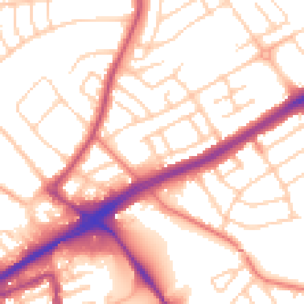
Daytime· 07:00 – 23:00
54.3dB

Night-time· 23:00 – 07:00
44.3dB