6 Amos Avenue, Liverpool, L21 7QH
About 6 Amos Avenue
6 Amos Avenue is a mid-terrace house in Liverpool (L21 7QH). It has a recorded floor area of 73 m² (around 786 sq ft), construction records dating it to 1930-1949 and council tax band A. The latest certificate (January 2025) shows a C (score 69), just inside the C band. When first surveyed in November 2014 the rating was E, the property has climbed 2 bands since. Between certificates, roof efficiency went from Very Poor to Good and lighting went from Very Poor to Very Good. The recommended improvements would push it to B (score 89).
On energy efficiency it sits in the top 10% of properties in this postcode. Across 2003–2022, sale prices on this property compounded at 3.7% per year. On a £-per-square-foot basis, the last sale (£174/sq ft) was about 53.7% above the typical sold price in the postcode. Most recent transfer: May 2022 at £137,000. That sale was during the post-pandemic price surge, when transactions cleared materially above pre-2020 trend.
Everything you need to know about 6 Amos Avenue
The true value, the hidden risks and the full sale history, in one report.
30-day money-back guarantee

The data behind every report


Energy performance
6 Amos Avenue ranks among the most efficient homes in the postcode for energy use.
EPC Rating
Property Improvements
Changes detected from historical EPC data
Heating controls upgraded for better temperature management
Roof insulation improved
More low energy lighting installed
Planning history
6 Amos Avenue has no planning applications on record.
The full report still covers planning activity across the surrounding area.
Sales history & valuation
The latest sale landed in the post-pandemic price surge — useful context when reading the figure.
£146,000
Modelled from EPC, postcode comparables and a sale-price growth of 3.7% per year over 18 years.
£137,000
Growth on file: 3.7% per year over 18 years.
Sales timeline
5 May 2022Most recent
£137,000
+94.3%over 18 years14 November 2003
£70,500
Median price across the last 5 sales in L21 7QH: £105,000 (2025–2019).
Versus other Amos Avenue homes
On epc rating, 6 Amos Avenue stands well clear of the street.
Price per m²
£1,877
Street avg £1,385
Floor Area
73 m²
Street avg 75 m²
Habitable Rooms
5 rooms
Street avg 5 rooms
CO₂ Emissions
2.8 t/year
Street avg 4.1 t/year
Everything you need to know about 6 Amos Avenue
The true value, the hidden risks and the full sale history, in one report.
30-day money-back guarantee
The data behind every report
Similar properties nearby
The neighbourhood at a glance
Reported crime in the wider district is trending notably upward year-on-year.
Crime
4/mo
Rising year-on-year across the wider district.
Nearest stop
0.2 km
Orrell Road — bus stop.
Closest school
0.1 km
English Martyrs' Catholic Primary School. 39 schools nearby.
Go deeper on the local area
The full report breaks down crime, transport links, schools and air quality in depth.
Road noise across the postcode
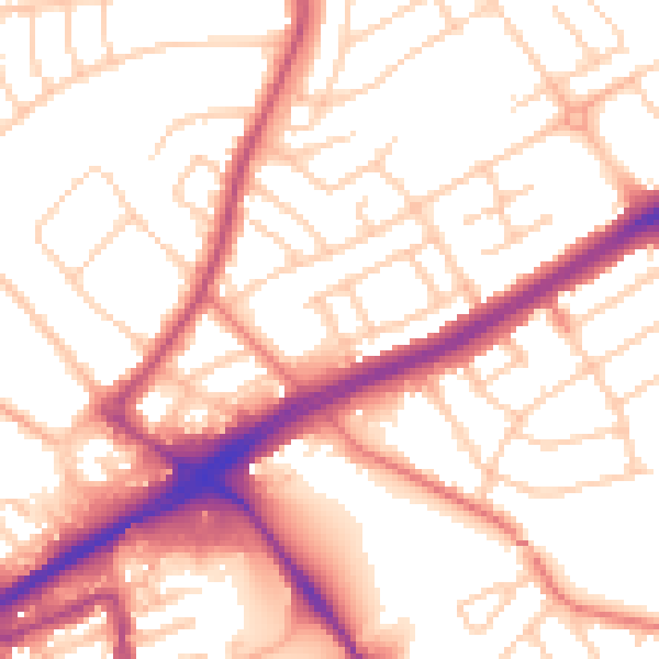
Daytime· 07:00 – 23:00
54.3dB

Night-time· 23:00 – 07:00
44.3dB