11 Amos Avenue, Liverpool, L21 7QH
About 11 Amos Avenue
11 Amos Avenue is a three-bedroom end-of-terrace house in Liverpool (L21 7QH). It has a recorded floor area of 66 m² (around 710 sq ft), construction records dating it to 1930-1949 and council tax band A. The latest certificate (April 2013) shows an E (score 54), well below the UK norm with real room to improve. Earlier certificates rated it D (March 2009); the latest reading is one band lower. Between certificates, window efficiency went from Average to Good and lighting went from Very Poor to Very Good; while wall efficiency dropped from Poor to Very Poor and roof efficiency dropped from Average to Poor. The recommended improvements would lift it to B (score 91), a 3-band jump. The latest certificate is from April 2013, so improvements made since then won't be reflected.
Most recent transfer: July 2021 at £135,000. Across the public record there are 5 sales, relatively high churn for a single property. That sale was during the post-pandemic price surge, when transactions cleared materially above pre-2020 trend. It lags the bulk of the postcode on energy efficiency (less efficient than 81% of similar EPCs). Across 1996–2021, sale prices on this property compounded at 5.2% per year. Today's modelled estimate of £179,000 is 32.6% above the 2021 sale price. On a £-per-square-foot basis, the last sale (£190/sq ft) was about 71.8% above the typical sold price in the postcode.
What this property has
Inside
- Bedrooms3
- Bathrooms1
- Dining roomYes
Outside
- Private gardenRear
- DrivewayYes
Building
- RefurbishedYes
Everything you need to know about 11 Amos Avenue
The true value, the hidden risks and the full sale history, in one report.
30-day money-back guarantee

The data behind every report


Energy performance
Recommended upgrades on file would lift this property by multiple EPC bands.
EPC Expired
This certificate is over 10 years old and is no longer valid.Expired 08 Apr 2023
EPC Rating
Property Improvements
Changes detected from historical EPC data
Windows upgraded, improving insulation
More low energy lighting installed
Planning history
11 Amos Avenue has no planning applications on record.
The full report still covers planning activity across the surrounding area.
Sales history & valuation
11 Amos Avenue has more than tripled in price since its earliest registered sale in 1996.
£179,000
Modelled from EPC, postcode comparables and a sale-price growth of 5.2% per year over 25 years.
£135,000
Growth on file: 5.2% per year over 25 years.
Sales timeline
1 July 2021Most recent
£135,000
+22.7%over 7 years31 January 2014
£110,000
+4.8%over 3 years27 June 2010
£105,000
+84.2%over 8 years22 November 2001
£57,000
+50.0%over 5 years5 September 1996
£38,000
Median price across the last 5 sales in L21 7QH: £105,000 (2025–2019).
Versus other Amos Avenue homes
11 Amos Avenue outperforms the street on price per m² by a wide margin.
Price per m²
£2,045
Street avg £1,372
Floor Area
66 m²
Street avg 75 m²
Habitable Rooms
5 rooms
Street avg 5 rooms
CO₂ Emissions
4.3 t/year
Street avg 4.1 t/year
Everything you need to know about 11 Amos Avenue
The true value, the hidden risks and the full sale history, in one report.
30-day money-back guarantee
The data behind every report
Similar properties nearby
1 Gale Road, Litherland
L21 7QR
1 Ruby Close, Litherland
L21 7RH
1 Amethyst Close, Litherland
L21 7RD
1 Amos Avenue
L21 7QH
1 Boundary Road, Litherland
L21 7LA
1 Kent Avenue, Litherland
L21 7QJ
1 Oxford Avenue
L21 7LT
1 Opal Close, Litherland
L21 7RE
The neighbourhood at a glance
Reported crime in the wider district is trending notably upward year-on-year.
Crime
4/mo
Rising year-on-year across the wider district.
Nearest stop
0.2 km
Orrell Road — bus stop.
Closest school
0.1 km
English Martyrs' Catholic Primary School. 39 schools nearby.
Go deeper on the local area
The full report breaks down crime, transport links, schools and air quality in depth.
Road noise across the postcode
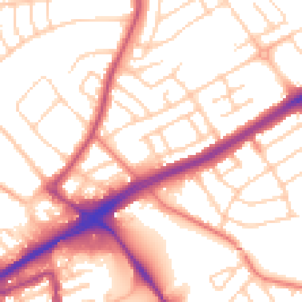
Daytime· 07:00 – 23:00
54.3dB

Night-time· 23:00 – 07:00
44.3dB