1 Springfield Avenue, Liverpool, L21 7PY
About 1 Springfield Avenue
1 Springfield Avenue is a three-bedroom property in Liverpool (L21 7PY). It has council tax band B. Records show the property has been extended at some point in its history.
It hasn't traded since September 1999, a hold of 27 years that's notably long for the area. Only one transfer is on record with HM Land Registry, suggesting it has stayed in the same hands for a long time. One planning record on file: an extension approved in 2006. Past consents include an extension, meaningful when judging how the property has evolved.
What this property has
Inside
- Bedrooms3
Building
- Heating systemGas
- Previously extendedYes
Everything you need to know about 1 Springfield Avenue
The true value, the hidden risks and the full sale history, in one report.
30-day money-back guarantee

The data behind every report


Energy performance
No EPC on record
This property doesn't have an Energy Performance Certificate yet. An EPC is required to sell or let — and unlocks our automated valuation.
Planning history
1 Springfield Avenue has an approved single-storey side extension on the planning record.
- Apr 2006ExtensionFullIn report
Extension: Single storey · Side of property
Erection of a single storey extension at the side of the dwellinghouse
- Documents
- 2 docs on file
- Reference
- S/2006/0255
What's in 1 Springfield Avenue, Liverpool, L21 7PY's planning history?
Refusals, disputes and full decisions on this property and nearby, in the report.
Sales history & valuation
1 Springfield Avenue has been held in the same hands since before 2000.
£50,500
Recorded with HM Land Registry.
Sales timeline
30 September 1999Most recent
£50,500
Median price across the last 5 sales in L21 7PY: £150,000 (2025–2018).
Nearby sales in L21 7PY
13 Springfield Avenue, Liverpool, L21 7PY
Sold Sept 2025
£160,00019 Springfield Avenue, Liverpool, L21 7PY
Sold Jul 2023
£150,0005 Springfield Avenue, Liverpool, L21 7PY
Sold Jun 2022
£170,00023 Springfield Avenue, Liverpool, L21 7PY
Sold Jan 2019
£99,40025 Springfield Avenue, Liverpool, L21 7PY
Sold May 2015
£65,000
Everything you need to know about 1 Springfield Avenue
The true value, the hidden risks and the full sale history, in one report.
30-day money-back guarantee
The data behind every report
Similar properties nearby
1 Amethyst Close, Litherland
L21 7RD
1 Amos Avenue
L21 7QH
1 Boundary Road, Litherland
L21 7LA
1 Gale Road, Litherland
L21 7QR
1 Kent Avenue, Litherland
L21 7QJ
1 Ruby Close, Litherland
L21 7RH
1 Opal Close, Litherland
L21 7RE
1 Oxford Avenue
L21 7LT
The neighbourhood at a glance
Reported crime in the wider district is trending notably upward year-on-year.
Crime
4/mo
Rising year-on-year across the wider district.
Nearest stop
0.1 km
Springfield Avenue — bus stop.
Closest school
0.2 km
St Philip's Church of England Controlled Primary School. 41 schools nearby.
Go deeper on the local area
The full report breaks down crime, transport links, schools and air quality in depth.
Road noise across the postcode
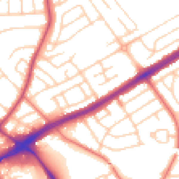
Daytime· 07:00 – 23:00
53.8dB

Night-time· 23:00 – 07:00
43.3dB