19 Springfield Avenue, Liverpool, L21 7PY
About 19 Springfield Avenue
19 Springfield Avenue is a two-bedroom mid-terrace house in Liverpool (L21 7PY). It has a recorded floor area of 77 m² (around 829 sq ft), construction records dating it to 1930-1949 and council tax band A. The latest certificate (June 2018) shows a C (score 70). The recommended improvements would push it to B (score 82).
On energy efficiency it sits in the top 10% of properties in this postcode. Across 1996–2023, sale prices on this property compounded at 4.7% per year. Today's modelled estimate of £165,000 is 10% above the 2023 sale price. On a £-per-square-foot basis, the last sale (£181/sq ft) was about 80.6% above the typical sold price in the postcode. Last sale on file: £150,000 in July 2023.
What this property has
Inside
- Bedrooms2
- Bathrooms1
Everything you need to know about 19 Springfield Avenue
The true value, the hidden risks and the full sale history, in one report.
30-day money-back guarantee

The data behind every report


Energy performance
19 Springfield Avenue ranks among the most efficient homes in the postcode for energy use.
EPC Rating
Planning history
19 Springfield Avenue has no planning applications on record.
The full report still covers planning activity across the surrounding area.
Sales history & valuation
Sale price has grown by over 3x since 1996.
£165,000
Modelled from EPC, postcode comparables and a sale-price growth of 4.7% per year over 27 years.
£150,000
Growth on file: 4.7% per year over 27 years.
Sales timeline
13 July 2023Most recent
£150,000
+29.6%over 4 years18 July 2018
£115,750
+2.9%over 10 years1 May 2008
£112,500
+60.7%over 4 years26 May 2003
£70,000
+63.0%over 6 years30 May 1996
£42,950
Median price across the last 5 sales in L21 7PY: £99,400 (2025–2015).
Nearby sales in L21 7PY
13 Springfield Avenue, Liverpool, L21 7PY
Sold Sept 2025
£160,0005 Springfield Avenue, Liverpool, L21 7PY
Sold Jun 2022
£170,00023 Springfield Avenue, Liverpool, L21 7PY
Sold Jan 2019
£99,40025 Springfield Avenue, Liverpool, L21 7PY
Sold May 2015
£65,0007 Springfield Avenue, Liverpool, L21 7PY
Sold Jan 2014
£100,000
Versus other Springfield Avenue homes
EPC Rating for 19 Springfield Avenue runs comfortably ahead of the street norm.
Price per m²
£1,948
Street avg £1,235
Floor Area
77 m²
Street avg 87 m²
Habitable Rooms
3 rooms
Street avg 5 rooms
CO₂ Emissions
2.8 t/year
Street avg 5.2 t/year
Everything you need to know about 19 Springfield Avenue
The true value, the hidden risks and the full sale history, in one report.
30-day money-back guarantee
The data behind every report
Similar properties nearby
1 Amos Avenue
L21 7QH
1 Kent Avenue, Litherland
L21 7QJ
1 Gale Road, Litherland
L21 7QR
1 Ruby Close, Litherland
L21 7RH
1 Amethyst Close, Litherland
L21 7RD
1 Boundary Road, Litherland
L21 7LA
1 Alexandra Mount
L21 7PN
1 Sefton Moss Villas
L21 7QX
The neighbourhood at a glance
Reported crime in the wider district is trending notably upward year-on-year.
Crime
4/mo
Rising year-on-year across the wider district.
Nearest stop
0.1 km
Springfield Avenue — bus stop.
Closest school
0.2 km
St Philip's Church of England Controlled Primary School. 41 schools nearby.
Go deeper on the local area
The full report breaks down crime, transport links, schools and air quality in depth.
Road noise across the postcode
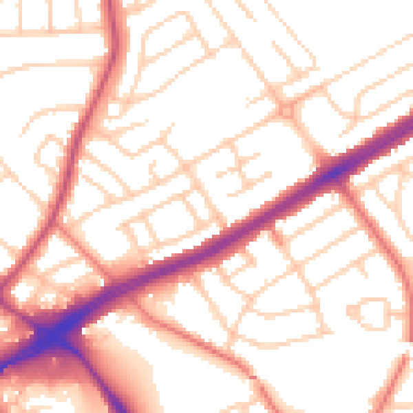
Daytime· 07:00 – 23:00
53.8dB

Night-time· 23:00 – 07:00
43.3dB