24 Harrington Road, Litherland, Liverpool, L21 7NA
About 24 Harrington Road
24 Harrington Road is a two-bedroom semi-detached house in Litherland, Liverpool, Liverpool (L21 7NA). It has a recorded floor area of 83 m² (around 893 sq ft), construction records dating it to 1930-1949 and council tax band A. The latest certificate (October 2024) shows a C (score 69), just inside the C band. The rating has held steady at C across 2 certificates since November 2014. Between certificates, lighting went from Average to Very Good; while wall efficiency dropped from Good to Average. The recommended improvements would push it to B (score 83).
It hasn't traded since August 2007, a hold of 19 years that's notably long for the area. That sale landed at the peak of the pre-credit-crunch market, which is a useful reference point when interpreting the price. Today's modelled estimate of £130,000 is 28.7% above the 2007 sale price. On a £-per-square-foot basis, the last sale (£113/sq ft) was about 47.7% above the typical sold price in the postcode.
What this property has
Inside
- Bedrooms2
Building
- Central heatingYes
- RefurbishedYes
Everything you need to know about 24 Harrington Road
The true value, the hidden risks and the full sale history, in one report.
30-day money-back guarantee

The data behind every report


Energy performance
EPC Rating
Property Improvements
Changes detected from historical EPC data
More low energy lighting installed
Planning history
24 Harrington Road has no planning applications on record.
The full report still covers planning activity across the surrounding area.
Sales history & valuation
The latest sale landed at the peak of the pre-credit-crunch market — a high-water reference point.
£130,000
Modelled from EPC, postcode comparables.
£101,000
Recorded with HM Land Registry.
Sales timeline
9 August 2007Most recent
£101,000
Median price across the last 5 sales in L21 7NA: £75,000 (2024–2012).
Nearby sales in L21 7NA
6 Harrington Road, Litherland, Liverpool, L21 7NA
Sold Sept 2024
£105,0009 Harrington Road, Litherland, Liverpool, L21 7NA
Sold Apr 2018
£75,00019 Harrington Road, Litherland, Liverpool, L21 7NA
Sold Aug 2017
£85,00017 Harrington Road, Litherland, Liverpool, L21 7NA
Sold Jun 2016
£75,00022 Harrington Road, Litherland, Liverpool, L21 7NA
Sold Nov 2010
£76,000
Versus other Harrington Road homes
Price per m² for 24 Harrington Road runs comfortably ahead of the street norm.
Price per m²
£1,217
Street avg £868
Floor Area
83 m²
Street avg 84 m²
Habitable Rooms
5 rooms
Street avg 5 rooms
CO₂ Emissions
2.8 t/year
Street avg 3.6 t/year
Everything you need to know about 24 Harrington Road
The true value, the hidden risks and the full sale history, in one report.
30-day money-back guarantee
The data behind every report
Similar properties nearby
1 Kent Avenue, Litherland
L21 7QJ
1 Amos Avenue
L21 7QH
1 Sefton Moss Villas
L21 7QX
1 Gale Road, Litherland
L21 7QR
1 Ruby Close, Litherland
L21 7RH
1 Amethyst Close, Litherland
L21 7RD
1 Boundary Road, Litherland
L21 7LA
1 Alexandra Mount
L21 7PN
The neighbourhood at a glance
Reported crime in the wider district is trending notably upward year-on-year.
Crime
4/mo
Rising year-on-year across the wider district.
Nearest stop
0.2 km
Boundary Road — bus stop.
Closest school
0.3 km
Litherland Moss Primary School. 38 schools nearby.
Go deeper on the local area
The full report breaks down crime, transport links, schools and air quality in depth.
Road noise across the postcode
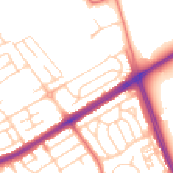
Daytime· 07:00 – 23:00
52.6dB

Night-time· 23:00 – 07:00
42.8dB