19 Harrington Road, Litherland, Liverpool, L21 7NA
About 19 Harrington Road
19 Harrington Road is a semi-detached house in Litherland, Liverpool, Liverpool (L21 7NA). It has a recorded floor area of 82 m² (around 883 sq ft), construction records dating it to 1950-1966 and council tax band A. The latest certificate (June 2017) shows an E (score 40), well below the UK norm with real room to improve. The recommended improvements would lift it to C (score 75), a 2-band jump.
Today's modelled estimate of £140,000 sits 64.7% above the 2017 sale of £85,000. On a £-per-square-foot basis, the last sale (£96/sq ft) was about 25.8% above the typical sold price in the postcode. It lags the bulk of the postcode on energy efficiency (less efficient than 82% of similar EPCs). On the market in August 2017 and unlisted since — roughly 9 years.
Everything you need to know about 19 Harrington Road
The true value, the hidden risks and the full sale history, in one report.
30-day money-back guarantee

The data behind every report


Energy performance
19 Harrington Road's carbon output runs well above what efficient homes in the postcode produce.
EPC Rating
Planning history
19 Harrington Road has no planning applications on record.
The full report still covers planning activity across the surrounding area.
Sales history & valuation
19 Harrington Road valuation sits well clear of the typical sold price in this postcode.
£140,000
Modelled from EPC, postcode comparables.
£85,000
Recorded with HM Land Registry.
Sales timeline
21 August 2017Most recent
£85,000
Median price across the last 5 sales in L21 7NA: £75,000 (2024–2010).
Nearby sales in L21 7NA
6 Harrington Road, Litherland, Liverpool, L21 7NA
Sold Sept 2024
£105,0009 Harrington Road, Litherland, Liverpool, L21 7NA
Sold Apr 2018
£75,00017 Harrington Road, Litherland, Liverpool, L21 7NA
Sold Jun 2016
£75,00022 Harrington Road, Litherland, Liverpool, L21 7NA
Sold Nov 2010
£76,0003 Harrington Road, Litherland, Liverpool, L21 7NA
Sold Aug 2007
£76,500
Versus other Harrington Road homes
On epc rating, 19 Harrington Road runs well behind the street norm.
Price per m²
£1,037
Street avg £894
Floor Area
82 m²
Street avg 84 m²
Habitable Rooms
4 rooms
Street avg 5 rooms
CO₂ Emissions
6.9 t/year
Street avg 3.4 t/year
Everything you need to know about 19 Harrington Road
The true value, the hidden risks and the full sale history, in one report.
30-day money-back guarantee
The data behind every report
Similar properties nearby
The neighbourhood at a glance
Reported crime in the wider district is trending notably upward year-on-year.
Crime
4/mo
Rising year-on-year across the wider district.
Nearest stop
0.2 km
Boundary Road — bus stop.
Closest school
0.3 km
Litherland Moss Primary School. 38 schools nearby.
Go deeper on the local area
The full report breaks down crime, transport links, schools and air quality in depth.
Road noise across the postcode
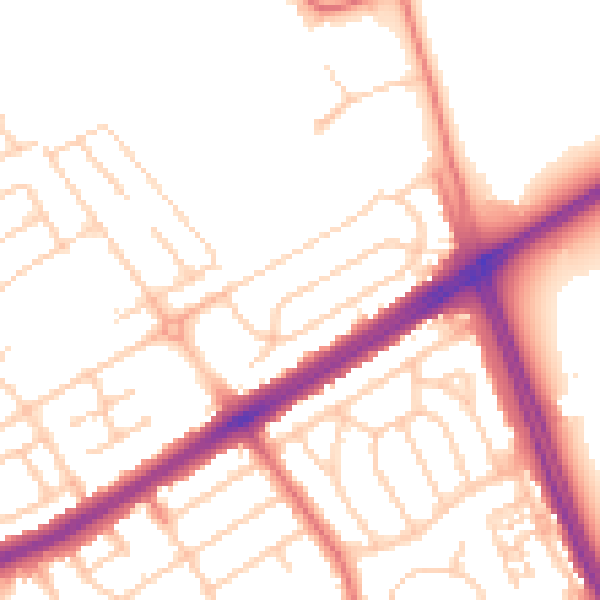
Daytime· 07:00 – 23:00
52.6dB

Night-time· 23:00 – 07:00
42.8dB