17 Harrington Road, Litherland, Liverpool, L21 7NA
About 17 Harrington Road
17 Harrington Road is a three-bedroom semi-detached house in Litherland, Liverpool, Liverpool (L21 7NA). It has a recorded floor area of 94 m² (around 1012 sq ft), construction records dating it to 1950-1966 and council tax band A. Tenure is freehold. The latest certificate (August 2014) shows a D (score 55), a step below the typical UK home. The recommended improvements would push it to C (score 71). The latest certificate is from August 2014, so improvements made since then won't be reflected. The home occupies a cul-de-sac position.
Across 2003–2016, sale prices on this property compounded at 5.8% per year. Today's modelled estimate of £146,000 sits 94.7% above the 2016 sale of £75,000. Last sold in June 2016, so it's been off the market for around 10 years.
What this property has
Inside
- Bedrooms3
- Bathrooms2
Outside
- Private gardenYes
- DrivewayYes
- Cul-de-sacYes
Building
- TenureFreehold
- Heating systemGas
Everything you need to know about 17 Harrington Road
The true value, the hidden risks and the full sale history, in one report.
30-day money-back guarantee

The data behind every report


Energy performance
17 Harrington Road's EPC is over a decade old — improvements since won't be reflected.
EPC Expired
This certificate is over 10 years old and is no longer valid.Expired 29 Aug 2024
EPC Rating
Planning history
17 Harrington Road has no planning applications on record.
The full report still covers planning activity across the surrounding area.
Sales history & valuation
17 Harrington Road has more than doubled in price since the earliest registered sale in 2003.
£146,000
Modelled from EPC, postcode comparables and a sale-price growth of 5.8% per year over 13 years.
£75,000
Growth on file: 5.8% per year over 13 years.
Sales timeline
30 June 2016Most recent
£75,000
+102.7%over 12 years13 November 2003
£37,000
Median price across the last 5 sales in L21 7NA: £76,000 (2024–2010).
Nearby sales in L21 7NA
6 Harrington Road, Litherland, Liverpool, L21 7NA
Sold Sept 2024
£105,0009 Harrington Road, Litherland, Liverpool, L21 7NA
Sold Apr 2018
£75,00019 Harrington Road, Litherland, Liverpool, L21 7NA
Sold Aug 2017
£85,00022 Harrington Road, Litherland, Liverpool, L21 7NA
Sold Nov 2010
£76,0003 Harrington Road, Litherland, Liverpool, L21 7NA
Sold Aug 2007
£76,500
Versus other Harrington Road homes
Floor Area for 17 Harrington Road runs comfortably ahead of the street norm.
Price per m²
£798
Street avg £928
Floor Area
94 m²
Street avg 83 m²
Habitable Rooms
5 rooms
Street avg 5 rooms
CO₂ Emissions
4.7 t/year
Street avg 3.5 t/year
Everything you need to know about 17 Harrington Road
The true value, the hidden risks and the full sale history, in one report.
30-day money-back guarantee
The data behind every report
Similar properties nearby
1 Kent Avenue, Litherland
L21 7QJ
1 Amos Avenue
L21 7QH
1 Gale Road, Litherland
L21 7QR
1 Ruby Close, Litherland
L21 7RH
1 Amethyst Close, Litherland
L21 7RD
1 Boundary Road, Litherland
L21 7LA
1 Oxford Avenue
L21 7LT
1 Opal Close, Litherland
L21 7RE
The neighbourhood at a glance
Reported crime in the wider district is trending notably upward year-on-year.
Crime
4/mo
Rising year-on-year across the wider district.
Nearest stop
0.2 km
Boundary Road — bus stop.
Closest school
0.3 km
Litherland Moss Primary School. 38 schools nearby.
Go deeper on the local area
The full report breaks down crime, transport links, schools and air quality in depth.
Road noise across the postcode
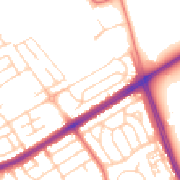
Daytime· 07:00 – 23:00
52.6dB

Night-time· 23:00 – 07:00
42.8dB