4 St Matthews Avenue, Liverpool, L21 5JS
About 4 St Matthews Avenue
4 St Matthews Avenue is a four-bedroom semi-detached house in Liverpool (L21 5JS). It has a recorded floor area of 179 m² (around 1927 sq ft), construction records dating it to 1930-1949 and council tax band C. The latest certificate (January 2015) shows an F (score 37), near the bottom of the EPC scale. The recommended improvements would lift it to D (score 67), a 2-band jump. The latest certificate is from January 2015, so improvements made since then won't be reflected. Other recorded features include a loft.
At 179 m² the property is well over the postcode median (88 m² across 4 EPCs), placing it in the larger end of the local stock. On energy efficiency it sits in the bottom 10% of properties in this postcode — significant headroom for improvement. Across 2002–2012, sale prices on this property compounded at 5% per year. Today's modelled estimate of £248,000 sits 65.3% above the 2012 sale of £150,000. On a £-per-square-foot basis, the last sale (£78/sq ft) was about 46.1% below the postcode norm. One planning record on file: an extension approved in 2006. Past consents include an extension and a conservatory, meaningful when judging how the property has evolved. Last changed hands 14 years ago, in September 2012.
What this property has
Inside
- Bedrooms4
- Dining roomYes
- EnsuiteYes
- LoftYes
Outside
- Private gardenYes
- DrivewayYes
Building
- Heating systemGas
- RefurbishedYes
Everything you need to know about 4 St Matthews Avenue
The true value, the hidden risks and the full sale history, in one report.
30-day money-back guarantee

The data behind every report


Energy performance
4 St Matthews Avenue sits at the bottom of the postcode for energy efficiency — meaningful headroom to improve.
EPC Expired
This certificate is over 10 years old and is no longer valid.Expired 22 Jan 2025
EPC Rating
Planning history
- May 2006ConservatoryFullIn report
Extension: Rear of property
Installation of side and rear dormers and erection of a conservatory at the rear of the dwellinghouse
Extension- Documents
- 4 docs on file
- Reference
- S/2006/0341
What's in 4 St Matthews Avenue, Liverpool, L21 5JS's planning history?
Refusals, disputes and full decisions on this property and nearby, in the report.
Sales history & valuation
4 St Matthews Avenue valuation sits well clear of the typical sold price in this postcode.
£248,000
Modelled from EPC, postcode comparables and a sale-price growth of 5.0% per year over 11 years.
£150,000
Growth on file: 5.0% per year over 11 years.
Sales timeline
13 September 2012Most recent
£150,000
+66.8%over 10 years22 February 2002
£89,950
Median price across the last 5 sales in L21 5JS: £137,000 (2023–2008).
Nearby sales in L21 5JS
10 St Matthews Avenue, Liverpool, L21 5JS
Sold Sept 2023
£188,0006 St Matthews Avenue, Liverpool, L21 5JS
Sold May 2012
£130,00012 St Matthews Avenue, Liverpool, L21 5JS
Sold Oct 2009
£137,00022 St Matthews Avenue, Liverpool, L21 5JS
Sold Dec 2006
£61,69516 St Matthews Avenue, Liverpool, L21 5JS
Sold Feb 1998
£56,000
Versus other St Matthews Avenue homes
4 St Matthews Avenue is notably below the street on epc rating.
EPC Rating
37 (F)
Street avg 56 (D)
Floor Area
179 m²
Street avg 92 m²
CO₂ Emissions
13.0 t/year
Street avg 5.0 t/year
Habitable Rooms
7 rooms
Street avg 5 rooms
Everything you need to know about 4 St Matthews Avenue
The true value, the hidden risks and the full sale history, in one report.
30-day money-back guarantee
The data behind every report
Similar properties nearby
1 Kirkstone Road South
L21 5HJ
1 Thirlmere Drive
L21 5JL
1 Ennerdale Drive
L21 5HX
11 Ennerdale Drive
L21 5HX
1 Hawkshead Drive
L21 5JE
1 Netherton Park Road
L21 5JD
10 Arnside
L21 5JH
10 Silverdale Drive
L21 5HU
The neighbourhood at a glance
Reported crime in the wider district is trending notably upward year-on-year.
Crime
4/mo
Rising year-on-year across the wider district.
Nearest stop
0.1 km
Springfield Avenue — bus stop.
Closest school
0.3 km
St Philip's Church of England Controlled Primary School. 43 schools nearby.
Go deeper on the local area
The full report breaks down crime, transport links, schools and air quality in depth.
Road noise across the postcode
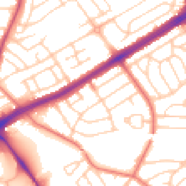
Daytime· 07:00 – 23:00
53.8dB

Night-time· 23:00 – 07:00
42.9dB