40 Grasmere Drive, Liverpool, L21 5JJ
About 40 Grasmere Drive
40 Grasmere Drive is a three-bedroom mid-terrace house in Liverpool (L21 5JJ). It has a recorded floor area of 80 m² (around 861 sq ft), construction records dating it to 1950-1966 and council tax band B. The latest certificate (March 2015) shows a D (score 68), on the cusp of jumping into the C band. The recommended improvements would lift it to B (score 83), a 2-band jump. The latest certificate is from March 2015, so improvements made since then won't be reflected.
It hasn't traded since April 2007, a hold of 19 years that's notably long for the area. That sale landed at the peak of the pre-credit-crunch market, which is a useful reference point when interpreting the price. It lags the bulk of the postcode on energy efficiency (less efficient than 71% of similar EPCs). Today's modelled estimate of £151,000 is 46.6% above the 2007 sale price. On a £-per-square-foot basis, the last sale (£120/sq ft) was about 18.9% above the typical sold price in the postcode.
What this property has
Inside
- Bedrooms3
Everything you need to know about 40 Grasmere Drive
The true value, the hidden risks and the full sale history, in one report.
30-day money-back guarantee

The data behind every report


Energy performance
Recommended upgrades on file would lift this property by multiple EPC bands.
EPC Expired
This certificate is over 10 years old and is no longer valid.Expired 28 Mar 2025
EPC Rating
Planning history
40 Grasmere Drive has no planning applications on record.
The full report still covers planning activity across the surrounding area.
Sales history & valuation
The latest sale landed at the peak of the pre-credit-crunch market — a high-water reference point.
£151,000
Modelled from EPC, postcode comparables.
£103,000
Recorded with HM Land Registry.
Sales timeline
3 April 2007Most recent
£103,000
Median price across the last 5 sales in L21 5JJ: £152,000 (2024–2016).
Nearby sales in L21 5JJ
Versus other Grasmere Drive homes
On floor area, 40 Grasmere Drive runs well behind the street norm.
Price per m²
£1,288
Street avg £1,310
Floor Area
80 m²
Street avg 91 m²
Habitable Rooms
5 rooms
Street avg 5 rooms
CO₂ Emissions
3.0 t/year
Street avg 3.3 t/year
Everything you need to know about 40 Grasmere Drive
The true value, the hidden risks and the full sale history, in one report.
30-day money-back guarantee
The data behind every report
Similar properties nearby
10 Keswick Drive
L21 5JQ
1 Silverdale Drive
L21 5HT
10 St Matthews Avenue
L21 5JS
10 Arnside
L21 5JH
1 Hawkshead Drive
L21 5JE
11 Ennerdale Drive
L21 5HX
1 Ennerdale Drive
L21 5HX
1 Netherton Park Road
L21 5JD
The neighbourhood at a glance
Reported crime in the wider district is trending notably upward year-on-year.
Crime
4/mo
Rising year-on-year across the wider district.
Nearest stop
0.1 km
Dunnings Bridge Road — bus stop.
Closest school
0.2 km
The Salesian Academy of St John Bosco. 39 schools nearby.
Go deeper on the local area
The full report breaks down crime, transport links, schools and air quality in depth.
Road noise across the postcode
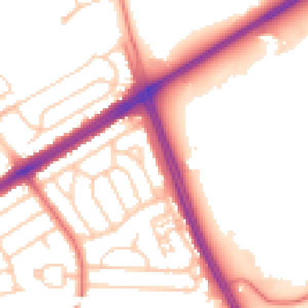
Daytime· 07:00 – 23:00
53.6dB

Night-time· 23:00 – 07:00
44.5dB