22 Grasmere Drive, Liverpool, L21 5JJ
About 22 Grasmere Drive
22 Grasmere Drive is a three-bedroom semi-detached house in Liverpool (L21 5JJ). It has a recorded floor area of 84 m² (around 904 sq ft), construction records dating it to 1950-1966 and council tax band C. The property has solar panels on record, all of which lower running costs and tend to lift resale appeal. Other recorded features include a conservatory. The latest certificate (August 2015) shows a C (score 69), just inside the C band. The recommended improvements would push it to B (score 83). The latest certificate is from August 2015, so improvements made since then won't be reflected.
Today's modelled estimate of £185,000 sits 65.2% above the 2016 sale of £112,000. On a £-per-square-foot basis, the last sale (£124/sq ft) was about 23.1% above the typical sold price in the postcode. 10 years since the last transfer (February 2016).
What this property has
Inside
- Bedrooms3
- Dining roomYes
- ConservatoryYes
Building
- Heating systemGas
- Solar panelsYes
Everything you need to know about 22 Grasmere Drive
The true value, the hidden risks and the full sale history, in one report.
30-day money-back guarantee

The data behind every report


Energy performance
EPC Expired
This certificate is over 10 years old and is no longer valid.Expired 21 Aug 2025
EPC Rating
Planning history
22 Grasmere Drive has no planning applications on record.
The full report still covers planning activity across the surrounding area.
Sales history & valuation
22 Grasmere Drive valuation sits well clear of the typical sold price in this postcode.
£185,000
Modelled from EPC, postcode comparables.
£112,000
Recorded with HM Land Registry.
Sales timeline
19 February 2016Most recent
£112,000
Median price across the last 5 sales in L21 5JJ: £152,000 (2024–2015).
Nearby sales in L21 5JJ
Versus other Grasmere Drive homes
Price per m²
£1,333
Street avg £1,305
Floor Area
84 m²
Street avg 90 m²
Habitable Rooms
5 rooms
Street avg 5 rooms
CO₂ Emissions
2.8 t/year
Street avg 3.3 t/year
Everything you need to know about 22 Grasmere Drive
The true value, the hidden risks and the full sale history, in one report.
30-day money-back guarantee
The data behind every report
Similar properties nearby
10 Keswick Drive
L21 5JQ
1 Silverdale Drive
L21 5HT
10 St Matthews Avenue
L21 5JS
10 Arnside
L21 5JH
1 Hawkshead Drive
L21 5JE
11 Ennerdale Drive
L21 5HX
1 Ennerdale Drive
L21 5HX
1 Netherton Park Road
L21 5JD
The neighbourhood at a glance
Reported crime in the wider district is trending notably upward year-on-year.
Crime
4/mo
Rising year-on-year across the wider district.
Nearest stop
0.1 km
Dunnings Bridge Road — bus stop.
Closest school
0.2 km
The Salesian Academy of St John Bosco. 39 schools nearby.
Go deeper on the local area
The full report breaks down crime, transport links, schools and air quality in depth.
Road noise across the postcode
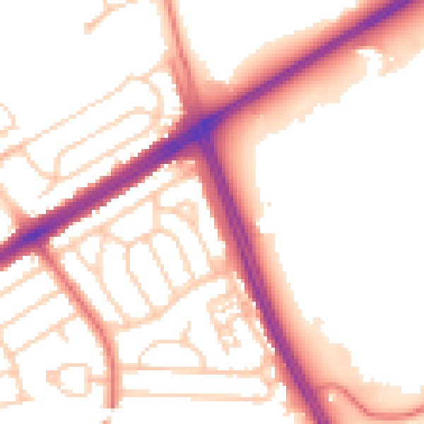
Daytime· 07:00 – 23:00
53.6dB

Night-time· 23:00 – 07:00
44.5dB