9 Ecclesall Avenue, Liverpool, L21 5HG
About 9 Ecclesall Avenue
9 Ecclesall Avenue is a three-bedroom semi-detached house in Liverpool (L21 5HG). It has a recorded floor area of 90 m² (around 969 sq ft), construction records dating it to 1930-1949 and council tax band C. The latest certificate (October 2013) shows an E (score 53), well below the UK norm with real room to improve. The rating has held steady at E across 3 certificates since February 2011. Between certificates, window efficiency went from Average to Good and lighting went from Poor to Very Good; while roof efficiency dropped from Poor to Very Poor. The recommended improvements would lift it to B (score 85), a 3-band jump. The latest certificate is from October 2013, so improvements made since then won't be reflected.
It lags the bulk of the postcode on energy efficiency (less efficient than 80% of similar EPCs). 14 years since the last transfer (May 2012). Today's modelled estimate of £197,000 is 40.8% above the 2012 sale price.
What this property has
Inside
- Bedrooms3
Everything you need to know about 9 Ecclesall Avenue
The true value, the hidden risks and the full sale history, in one report.
30-day money-back guarantee

The data behind every report


Energy performance
Recommended upgrades on file would lift this property by multiple EPC bands.
EPC Expired
This certificate is over 10 years old and is no longer valid.Expired 15 Oct 2023
EPC Rating
Property Improvements
Changes detected from historical EPC data
Heating controls upgraded for better temperature management
More low energy lighting installed
Heating controls changed
Window efficiency improved
Planning history
9 Ecclesall Avenue has no planning applications on record.
The full report still covers planning activity across the surrounding area.
Sales history & valuation
9 Ecclesall Avenue valuation sits well clear of the typical sold price in this postcode.
£197,000
Modelled from EPC, postcode comparables.
£139,950
Recorded with HM Land Registry.
Sales timeline
3 May 2012Most recent
£139,950
Median price across the last 5 sales in L21 5HG: £166,700 (2022–2018).
Nearby sales in L21 5HG
Versus other Ecclesall Avenue homes
CO₂ Emissions for 9 Ecclesall Avenue lags the street by a wide margin.
Price per m²
£1,555
Street avg £1,811
Floor Area
90 m²
Street avg 89 m²
Habitable Rooms
5 rooms
Street avg 5 rooms
CO₂ Emissions
5.2 t/year
Street avg 4.0 t/year
Everything you need to know about 9 Ecclesall Avenue
The true value, the hidden risks and the full sale history, in one report.
30-day money-back guarantee
The data behind every report
Similar properties nearby
1 Silverdale Drive
L21 5HT
10 Keswick Drive
L21 5JQ
10 St Matthews Avenue
L21 5JS
10 Arnside
L21 5JH
1 Hawkshead Drive
L21 5JE
11 Ennerdale Drive
L21 5HX
1 Ennerdale Drive
L21 5HX
1 Netherton Park Road
L21 5JD
The neighbourhood at a glance
Reported crime in the wider district is trending notably upward year-on-year.
Crime
4/mo
Rising year-on-year across the wider district.
Nearest stop
0.1 km
Kirkstone Road South — bus stop.
Closest school
0.4 km
St Philip's Church of England Controlled Primary School. 42 schools nearby.
Go deeper on the local area
The full report breaks down crime, transport links, schools and air quality in depth.
Road noise across the postcode
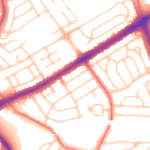
Daytime· 07:00 – 23:00
53.3dB

Night-time· 23:00 – 07:00
42.4dB