19 Clare Road, Bootle, L20 9LY
About 19 Clare Road
19 Clare Road is a four-bedroom mid-terrace house in Bootle (L20 9LY). It has a recorded floor area of 103 m² (around 1109 sq ft), construction records dating it to before 1900 and council tax band A. The latest certificate (July 2018) shows an E (score 52), well below the UK norm with real room to improve. The recommended improvements would lift it to B (score 84), a 3-band jump.
Untraded for 24 years, with the last transfer in October 2002. Across 1995–2002, sale prices on this property compounded at 3.2% per year. Today's modelled estimate of £132,000 sits 319% above the 2002 sale of £31,500. On a £-per-square-foot basis, the last sale (£28/sq ft) was about 50.9% below the postcode norm. It lags the bulk of the postcode on energy efficiency (less efficient than 73% of similar EPCs).
What this property has
Inside
- Bedrooms4
- Bathrooms1
- Dining roomYes
- EnsuiteYes
Outside
- GarageYes
Building
- Heating systemGas
- RefurbishedYes
Everything you need to know about 19 Clare Road
The true value, the hidden risks and the full sale history, in one report.
30-day money-back guarantee

The data behind every report


Energy performance
19 Clare Road's carbon output runs well above what efficient homes in the postcode produce.
EPC Rating
Planning history
19 Clare Road has no planning applications on record.
Notable planning nearby
7applications of note in the surrounding area
We flagged 1 thing worth checking at 19 Clare Road
Independent checks surfaced things a buyer would want to understand before offering. The report explains each one in full, with the underlying data and what to ask.
- Signs of HMO activity in the area
30-day money-back guarantee
Sales history & valuation
19 Clare Road's modelled value sits at over four times its earliest registered sale price (1995).
£132,000
Modelled from EPC, postcode comparables and a sale-price growth of 3.2% per year over 7 years.
£31,500
Growth on file: 3.2% per year over 7 years.
Sales timeline
2 October 2002Most recent
£31,500
+26.0%over 7 years30 May 1995
£25,000
Median price across the last 5 sales in L20 9LY: £115,500 (2025–2024).
Versus other Clare Road homes
Years Held for 19 Clare Road runs comfortably ahead of the street norm.
Price per m²
£306
Street avg £795
Floor Area
103 m²
Street avg 105 m²
Habitable Rooms
6 rooms
Street avg 5 rooms
CO₂ Emissions
6.1 t/year
Street avg 5.3 t/year
Everything you need to know about 19 Clare Road
The true value, the hidden risks and the full sale history, in one report.
30-day money-back guarantee
The data behind every report
Similar properties nearby
1 Downing Road
L20 9LS
1 Gonville Road
L20 9LN
1 Edith Villas, Fernhill Road
L20 9HT
1 Fernhill Close
L20 9JR
1 Clare Villas, 4 Clare Road
L20 9QD
1 Bedford Villas, 207 Bedford Road
L20 9QB
1 Hillside Close
L20 9NT
1 Harrison Drive
L20 9JL
The neighbourhood at a glance
Rail-style transport is unusually close for this postcode.
Crime
7/mo
Rising year-on-year across the wider district.
Nearest stop
0.1 km
Wadham Road — bus stop.
Closest school
0.3 km
Bedford Primary School. 38 schools nearby.
Go deeper on the local area
The full report breaks down crime, transport links, schools and air quality in depth.
Road noise across the postcode
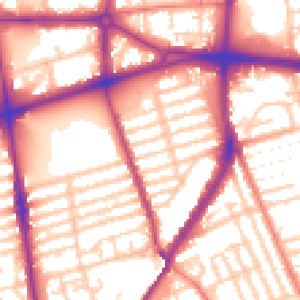
Daytime· 07:00 – 23:00
57.5dB
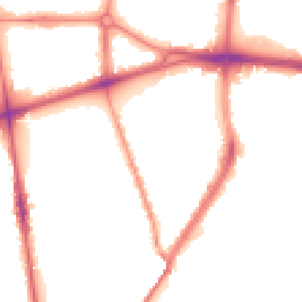
Night-time· 23:00 – 07:00
48.9dB