7 Beech Street, Bootle, L20 3HG
About 7 Beech Street
7 Beech Street is a two-bedroom mid-terrace house in Bootle (L20 3HG). It has a recorded floor area of 71 m² (around 764 sq ft), construction records dating it to 1900-1929 and council tax band A. The latest certificate (December 2012) shows an F (score 36), near the bottom of the EPC scale. The recommended improvements would lift it to B (score 82), a 4-band jump. The latest certificate is from December 2012, so improvements made since then won't be reflected. Our model identifies extension potential, subject to local planning policy.
On energy efficiency it sits in the bottom 10% of properties in this postcode — significant headroom for improvement. Today's modelled estimate of £102,000 sits 191.4% above the 2013 sale of £35,000. On a £-per-square-foot basis, the last sale (£46/sq ft) was about 32.8% below the postcode norm. Last changed hands 13 years ago, in October 2013.
What this property has
Inside
- Bedrooms2
Building
- Extension potentialPossible
Everything you need to know about 7 Beech Street
The true value, the hidden risks and the full sale history, in one report.
30-day money-back guarantee

The data behind every report


Energy performance
7 Beech Street sits at the bottom of the postcode for energy efficiency — meaningful headroom to improve.
EPC Expired
This certificate is over 10 years old and is no longer valid.Expired 13 Dec 2022
EPC Rating
Planning history
7 Beech Street has no planning applications on record.
Notable planning nearby
1applications of note in the surrounding area
Sales history & valuation
7 Beech Street valuation sits well clear of the typical sold price in this postcode.
£102,000
Modelled from EPC, postcode comparables.
£35,000
Recorded with HM Land Registry.
Sales timeline
6 October 2013Most recent
£35,000
Median price across the last 5 sales in L20 3HG: £91,000 (2025–2022).
Versus other Beech Street homes
On price per m², 7 Beech Street runs well behind the street norm.
Price per m²
£493
Street avg £997
Floor Area
71 m²
Street avg 81 m²
Habitable Rooms
4 rooms
Street avg 4 rooms
CO₂ Emissions
6.4 t/year
Street avg 3.8 t/year
Everything you need to know about 7 Beech Street
The true value, the hidden risks and the full sale history, in one report.
30-day money-back guarantee
The data behind every report
Similar properties nearby
The neighbourhood at a glance
Rail-style transport is unusually close for this postcode.
Crime
7/mo
Rising year-on-year across the wider district.
Nearest stop
0.1 km
Bootle Strand Shopping Centre — bus stop.
Closest school
0.3 km
Christ Church Church of England Controlled Primary School. 33 schools nearby.
Go deeper on the local area
The full report breaks down crime, transport links, schools and air quality in depth.
Road noise across the postcode
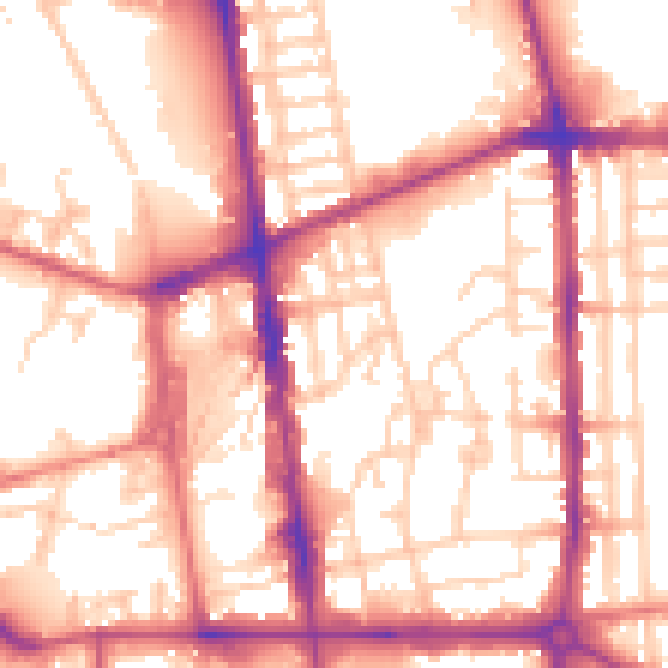
Daytime· 07:00 – 23:00
56.6dB

Night-time· 23:00 – 07:00
47.1dB