21 Beech Street, Bootle, L20 3HG
About 21 Beech Street
21 Beech Street is a two-bedroom mid-terrace house in Bootle (L20 3HG). It has a recorded floor area of 78 m² (around 840 sq ft), construction records dating it to 1900-1929 and council tax band A. The latest certificate (July 2016) shows a D (score 60), on the cusp of jumping into the C band. The recommended improvements would lift it to B (score 90), a 2-band jump.
It hasn't traded since September 2008, a hold of 18 years that's notably long for the area. That sale landed at the peak of the pre-credit-crunch market, which is a useful reference point when interpreting the price. Across 2003–2008, sale prices on this property compounded at 14.2% per year. Today's modelled estimate of £101,000 is 29.5% above the 2008 sale price. On a £-per-square-foot basis, the last sale (£93/sq ft) was about 42.6% above the typical sold price in the postcode.
What this property has
Inside
- Bedrooms2
- Dining roomYes
Outside
- Private gardenRear
Building
- Heating systemGas
Everything you need to know about 21 Beech Street
The true value, the hidden risks and the full sale history, in one report.
30-day money-back guarantee

The data behind every report


Energy performance
Recommended upgrades on file would lift this property by multiple EPC bands.
EPC Rating
Planning history
21 Beech Street has no planning applications on record.
Notable planning nearby
1applications of note in the surrounding area
Sales history & valuation
The latest sale landed at the peak of the pre-credit-crunch market — a high-water reference point.
£101,000
Modelled from EPC, postcode comparables and a sale-price growth of 14.2% per year over 5 years.
£78,000
Growth on file: 14.2% per year over 5 years.
Sales timeline
11 September 2008Most recent
£78,000
+90.2%over 4 years7 November 2003
£41,000
Median price across the last 5 sales in L20 3HG: £91,000 (2025–2022).
Versus other Beech Street homes
On years held, 21 Beech Street stands well clear of the street.
Price per m²
£1,000
Street avg £925
Floor Area
78 m²
Street avg 80 m²
Habitable Rooms
3 rooms
Street avg 4 rooms
CO₂ Emissions
4.0 t/year
Street avg 4.0 t/year
Everything you need to know about 21 Beech Street
The true value, the hidden risks and the full sale history, in one report.
30-day money-back guarantee
The data behind every report
Similar properties nearby
The neighbourhood at a glance
Rail-style transport is unusually close for this postcode.
Crime
7/mo
Rising year-on-year across the wider district.
Nearest stop
0.1 km
Bootle Strand Shopping Centre — bus stop.
Closest school
0.3 km
Christ Church Church of England Controlled Primary School. 33 schools nearby.
Go deeper on the local area
The full report breaks down crime, transport links, schools and air quality in depth.
Road noise across the postcode
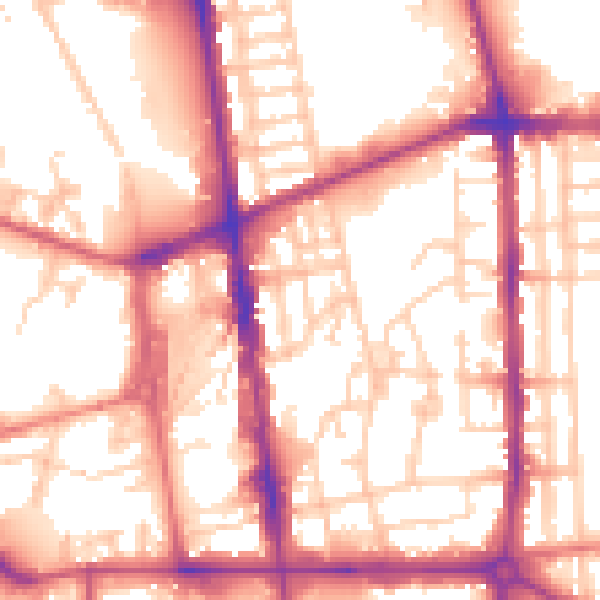
Daytime· 07:00 – 23:00
56.6dB

Night-time· 23:00 – 07:00
47.1dB