91 Bedford Road, Bootle, L20 2DL
About 91 Bedford Road
91 Bedford Road is a mid-terrace house in Bootle (L20 2DL). It has a recorded floor area of 89 m² (around 958 sq ft), construction records dating it to 2007 onwards and council tax band B. The latest certificate (December 2019) shows a C (score 79), near the top of the C band. Earlier certificates rated it B (September 2009); the latest reading is one band lower. Between certificates, wall efficiency dropped from Very Good to Good and roof efficiency dropped from Very Good to Good. The recommended improvements would push it to B (score 91).
Untraded for 28 years, with the last transfer in July 1998. Only one transfer is on record with HM Land Registry, suggesting it has stayed in the same hands for a long time. Today's modelled estimate of £125,000 sits 525% above the 1998 sale of £20,000. On a £-per-square-foot basis, the last sale (£21/sq ft) was about 60.3% below the postcode norm.
Everything you need to know about 91 Bedford Road
The true value, the hidden risks and the full sale history, in one report.
30-day money-back guarantee

The data behind every report


Energy performance
EPC Rating
Property Improvements
Changes detected from historical EPC data
Heating controls changed
Hot water efficiency decreased
More low energy lighting installed
Planning history
91 Bedford Road has no planning applications on record.
Notable planning nearby
6applications of note in the surrounding area
We flagged 1 thing worth checking at 91 Bedford Road
Independent checks surfaced things a buyer would want to understand before offering. The report explains each one in full, with the underlying data and what to ask.
- Signs of HMO activity in the area
30-day money-back guarantee
Sales history & valuation
91 Bedford Road's modelled value sits at over four times its earliest registered sale price (1998).
£125,000
Modelled from EPC, postcode comparables.
£20,000
Recorded with HM Land Registry.
Sales timeline
6 July 1998Most recent
£20,000
Median price across the last 5 sales in L20 2DL: £100,000 (2021–2015).
Versus other Bedford Road homes
On habitable rooms, 91 Bedford Road runs well behind the street norm.
Price per m²
£225
Street avg £657
Floor Area
89 m²
Street avg 102 m²
Habitable Rooms
4 rooms
Street avg 6 rooms
CO₂ Emissions
1.9 t/year
Street avg 3.7 t/year
Everything you need to know about 91 Bedford Road
The true value, the hidden risks and the full sale history, in one report.
30-day money-back guarantee
The data behind every report
Similar properties nearby
The neighbourhood at a glance
Rail-style transport is unusually close for this postcode.
Crime
7/mo
Rising year-on-year across the wider district.
Nearest stop
0.1 km
Beatrice Street — bus stop.
Closest school
0.3 km
Hugh Baird College. 35 schools nearby.
Go deeper on the local area
The full report breaks down crime, transport links, schools and air quality in depth.
Road noise across the postcode
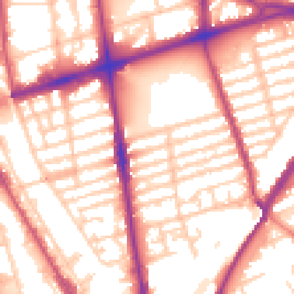
Daytime· 07:00 – 23:00
56.6dB

Night-time· 23:00 – 07:00
48.0dB