81 Vaux Crescent, Bootle, L20 0AP
About 81 Vaux Crescent
81 Vaux Crescent is a three-bedroom semi-detached house in Bootle (L20 0AP). It has a recorded floor area of 74 m² (around 797 sq ft), construction records dating it to 1930-1949 and council tax band A. The latest certificate (May 2025) shows a C (score 69), just inside the C band. When first surveyed in August 2010 the rating was D, the property has climbed 1 band since. Between certificates, roof efficiency went from Good to Very Good, hot-water efficiency went from Poor to Good and lighting went from Very Poor to Very Good; while wall efficiency dropped from Good to Poor. The recommended improvements would push it to B (score 86).
Today's modelled estimate of £135,000 sits 104.5% above the 2011 sale of £66,000. Last changed hands 15 years ago, in November 2011.
What this property has
Inside
- Bedrooms3
Everything you need to know about 81 Vaux Crescent
The true value, the hidden risks and the full sale history, in one report.
30-day money-back guarantee

The data behind every report


Energy performance
EPC Rating
Property Improvements
Changes detected from historical EPC data
Hot water system upgraded
Roof insulation improved
More low energy lighting installed
Heating controls upgraded for better temperature management
Loft insulation upgraded to recommended levels
More low energy lighting installed
Planning history
81 Vaux Crescent has no planning applications on record.
The full report still covers planning activity across the surrounding area.
Sales history & valuation
81 Vaux Crescent valuation sits well clear of the typical sold price in this postcode.
£135,000
Modelled from EPC, postcode comparables.
£66,000
Recorded with HM Land Registry.
Sales timeline
4 November 2011Most recent
£66,000
Median price across the last 5 sales in L20 0AP: £91,000 (2023–2016).
Versus other Vaux Crescent homes
Habitable Rooms for 81 Vaux Crescent lags the street by a wide margin.
Price per m²
£892
Street avg £960
Floor Area
74 m²
Street avg 76 m²
Habitable Rooms
4 rooms
Street avg 5 rooms
CO₂ Emissions
2.8 t/year
Street avg 3.9 t/year
Everything you need to know about 81 Vaux Crescent
The true value, the hidden risks and the full sale history, in one report.
30-day money-back guarantee
The data behind every report
Similar properties nearby
The neighbourhood at a glance
Reported crime in the wider district is trending notably upward year-on-year.
Crime
7/mo
Rising year-on-year across the wider district.
Nearest stop
0.1 km
Spence Avenue — bus stop.
Closest school
0.4 km
King's Leadership Academy Hawthornes. 40 schools nearby.
Go deeper on the local area
The full report breaks down crime, transport links, schools and air quality in depth.
Road noise across the postcode
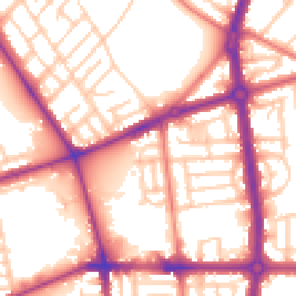
Daytime· 07:00 – 23:00
56.5dB

Night-time· 23:00 – 07:00
47.0dB