48 Vaux Crescent, Bootle, L20 0AP
About 48 Vaux Crescent
48 Vaux Crescent is a three-bedroom semi-detached house in Bootle (L20 0AP). It has a recorded floor area of 80 m² (around 856 sq ft), construction records dating it to 1930-1949 and council tax band A. The latest certificate (July 2011) shows a D (score 63), on the cusp of jumping into the C band. The recommended improvements would push it to C (score 72). The latest certificate is from July 2011, so improvements made since then won't be reflected.
Across 2002–2017, sale prices on this property compounded at 6.6% per year. Today's modelled estimate of £140,000 sits 64.7% above the 2017 sale of £85,000. On a £-per-square-foot basis, the last sale (£99/sq ft) was about 21.3% above the typical sold price in the postcode. On the market in February 2017 and unlisted since — roughly 9 years.
What this property has
Inside
- Bedrooms3
- CloakroomYes
Outside
- Private gardenYes
- ParkingOff road
Building
- Heating systemGas
- RefurbishedYes
Everything you need to know about 48 Vaux Crescent
The true value, the hidden risks and the full sale history, in one report.
30-day money-back guarantee

The data behind every report


Energy performance
48 Vaux Crescent's EPC is over a decade old — improvements since won't be reflected.
EPC Expired
This certificate is over 10 years old and is no longer valid.Expired 30 Jul 2021
EPC Rating
Planning history
48 Vaux Crescent has no planning applications on record.
The full report still covers planning activity across the surrounding area.
Sales history & valuation
48 Vaux Crescent has more than doubled in price since the earliest registered sale in 2002.
£140,000
Modelled from EPC, postcode comparables and a sale-price growth of 6.6% per year over 14 years.
£85,000
Growth on file: 6.6% per year over 14 years.
Sales timeline
24 February 2017Most recent
£85,000
+2.4%over 9 years2 September 2007
£83,000
+140.6%over 4 years13 December 2002
£34,500
Median price across the last 5 sales in L20 0AP: £91,000 (2023–2012).
Versus other Vaux Crescent homes
On floor area, 48 Vaux Crescent stands well clear of the street.
Price per m²
£1,069
Street avg £938
Floor Area
80 m²
Street avg 76 m²
Habitable Rooms
5 rooms
Street avg 5 rooms
CO₂ Emissions
3.7 t/year
Street avg 3.8 t/year
Everything you need to know about 48 Vaux Crescent
The true value, the hidden risks and the full sale history, in one report.
30-day money-back guarantee
The data behind every report
Similar properties nearby
The neighbourhood at a glance
Reported crime in the wider district is trending notably upward year-on-year.
Crime
7/mo
Rising year-on-year across the wider district.
Nearest stop
0.1 km
Spence Avenue — bus stop.
Closest school
0.4 km
King's Leadership Academy Hawthornes. 40 schools nearby.
Go deeper on the local area
The full report breaks down crime, transport links, schools and air quality in depth.
Road noise across the postcode
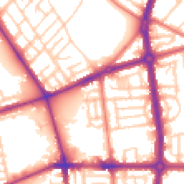
Daytime· 07:00 – 23:00
56.5dB

Night-time· 23:00 – 07:00
47.0dB