40 Vaux Crescent, Bootle, L20 0AP
About 40 Vaux Crescent
40 Vaux Crescent is a three-bedroom semi-detached house in Bootle (L20 0AP). It has a recorded floor area of 75 m² (around 807 sq ft), construction records dating it to 1950-1966 and council tax band A. Tenure is freehold. The latest certificate (August 2014) shows an F (score 37), near the bottom of the EPC scale. The recommended improvements would lift it to B (score 88), a 4-band jump. The latest certificate is from August 2014, so improvements made since then won't be reflected.
On energy efficiency it sits in the bottom 10% of properties in this postcode — significant headroom for improvement. Across 2003–2023, sale prices on this property compounded at 5.3% per year. Today's modelled estimate of £141,000 is 28.2% above the 2023 sale price. On a £-per-square-foot basis, the last sale (£136/sq ft) was about 64.4% above the typical sold price in the postcode. Sold June 2023 for £110,000.
What this property has
Inside
- Bedrooms3
- Bathrooms1
- CloakroomYes
Outside
- Private gardenYes
- DrivewayYes
Building
- TenureFreehold
Everything you need to know about 40 Vaux Crescent
The true value, the hidden risks and the full sale history, in one report.
30-day money-back guarantee

The data behind every report


Energy performance
40 Vaux Crescent sits at the bottom of the postcode for energy efficiency — meaningful headroom to improve.
EPC Expired
This certificate is over 10 years old and is no longer valid.Expired 05 Aug 2024
EPC Rating
Planning history
40 Vaux Crescent has no planning applications on record.
The full report still covers planning activity across the surrounding area.
Sales history & valuation
Latest sale on 40 Vaux Crescent was the highest on Land Registry record across the postcode.
£141,000
Modelled from EPC, postcode comparables and a sale-price growth of 5.3% per year over 20 years.
£110,000
Growth on file: 5.3% per year over 20 years.
Sales timeline
29 June 2023Most recent
£110,000
+182.1%over 19 years11 July 2003
£39,000
Median price across the last 5 sales in L20 0AP: £85,000 (2019–2012).
Versus other Vaux Crescent homes
Price per m² for 40 Vaux Crescent runs comfortably ahead of the street norm.
Price per m²
£1,467
Street avg £888
Floor Area
75 m²
Street avg 76 m²
Habitable Rooms
5 rooms
Street avg 5 rooms
CO₂ Emissions
6.5 t/year
Street avg 3.7 t/year
Everything you need to know about 40 Vaux Crescent
The true value, the hidden risks and the full sale history, in one report.
30-day money-back guarantee
The data behind every report
Similar properties nearby
The neighbourhood at a glance
Reported crime in the wider district is trending notably upward year-on-year.
Crime
7/mo
Rising year-on-year across the wider district.
Nearest stop
0.1 km
Spence Avenue — bus stop.
Closest school
0.4 km
King's Leadership Academy Hawthornes. 40 schools nearby.
Go deeper on the local area
The full report breaks down crime, transport links, schools and air quality in depth.
Road noise across the postcode
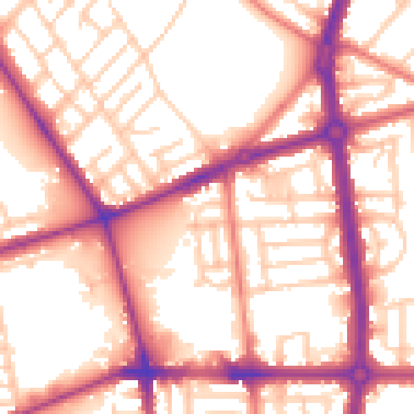
Daytime· 07:00 – 23:00
56.5dB

Night-time· 23:00 – 07:00
47.0dB