67 Vaux Crescent, Bootle, L20 0AP
About 67 Vaux Crescent
67 Vaux Crescent is a semi-detached house in Bootle (L20 0AP). It has a recorded floor area of 102 m² (around 1098 sq ft), construction records dating it to 1930-1949 and council tax band A. The latest certificate (September 2013) shows an F (score 32), near the bottom of the EPC scale. The recommended improvements would lift it to B (score 85), a 4-band jump. The latest certificate is from September 2013, so improvements made since then won't be reflected.
At 102 m² the property is well over the postcode median (75 m² across 22 EPCs), placing it in the larger end of the local stock. On energy efficiency it sits in the bottom 10% of properties in this postcode — significant headroom for improvement.
Everything you need to know about 67 Vaux Crescent
The true value, the hidden risks and the full sale history, in one report.
30-day money-back guarantee

The data behind every report


Energy performance
67 Vaux Crescent sits at the bottom of the postcode for energy efficiency — meaningful headroom to improve.
EPC Expired
This certificate is over 10 years old and is no longer valid.Expired 05 Sept 2023
EPC Rating
Planning history
67 Vaux Crescent has no planning applications on record.
The full report still covers planning activity across the surrounding area.
Sales history & valuation
67 Vaux Crescent has no Land Registry sales on file, suggesting it has stayed in the same hands since registration began.
£130,000
Modelled from EPC, postcode comparables.
No sales recorded with HM Land Registry
That can mean the property has never traded since the registry began publishing in 1995, was a new build that hasn't been registered yet, or is held in the same hands long-term.
Median price across the last 5 sales in L20 0AP: £91,000 (2023–2016).
Versus other Vaux Crescent homes
EPC Rating for 67 Vaux Crescent lags the street by a wide margin.
EPC Rating
32 (F)
Street avg 62 (D)
Floor Area
102 m²
Street avg 75 m²
CO₂ Emissions
8.6 t/year
Street avg 3.6 t/year
Habitable Rooms
4 rooms
Street avg 5 rooms
Everything you need to know about 67 Vaux Crescent
The true value, the hidden risks and the full sale history, in one report.
30-day money-back guarantee
The data behind every report
Similar properties nearby
The neighbourhood at a glance
Reported crime in the wider district is trending notably upward year-on-year.
Crime
7/mo
Rising year-on-year across the wider district.
Nearest stop
0.1 km
Spence Avenue — bus stop.
Closest school
0.4 km
King's Leadership Academy Hawthornes. 40 schools nearby.
Go deeper on the local area
The full report breaks down crime, transport links, schools and air quality in depth.
Road noise across the postcode
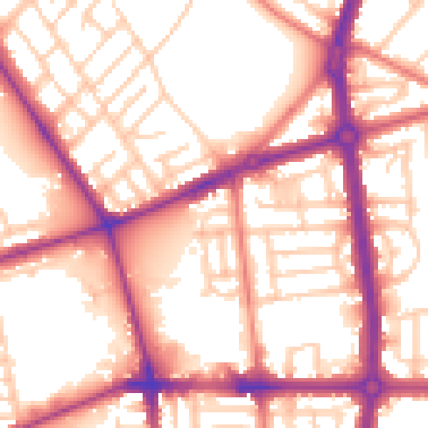
Daytime· 07:00 – 23:00
56.5dB

Night-time· 23:00 – 07:00
47.0dB