49 Hilary Avenue, Liverpool, L14 6TJ
About 49 Hilary Avenue
49 Hilary Avenue is a three-bedroom semi-detached house in Liverpool (L14 6TJ). It has a recorded floor area of 93 m² (around 1003 sq ft), construction records dating it to 1930-1949 and council tax band B. The latest certificate (September 2011) shows a D (score 55), a step below the typical UK home. The latest certificate is from September 2011, so improvements made since then won't be reflected. Records show the property has been extended at some point in its history.
Across 2013–2016, sale prices on this property compounded at 8.6% per year. Today's modelled estimate of £220,000 sits 67.9% above the 2016 sale of £131,000. On a £-per-square-foot basis, the last sale (£131/sq ft) was about 24.9% above the typical sold price in the postcode. On the market in August 2016 and unlisted since — roughly 10 years.
What this property has
Inside
- Bedrooms3
- Bathrooms1
Outside
- Private gardenRear
- ParkingOff road
Building
- Central heatingYes
- Previously extendedYes
Everything you need to know about 49 Hilary Avenue
The true value, the hidden risks and the full sale history, in one report.
Pick your report · every report is £14.99
One time fee only - money back guarantee

The data behind every report


Energy performance
49 Hilary Avenue's EPC is over a decade old — improvements since won't be reflected.
EPC Expired
This certificate is over 10 years old and is no longer valid.Expired 30 Sept 2021
EPC Rating
Get a survey for this property
Level 3 Building Survey
Because the property has solid (non-cavity) walls, we believe a Level 3 building survey should be considered.
From £885 · Includes VAT
Planning history
49 Hilary Avenue has no planning applications on record.
A planning report still maps activity across the surrounding area and reads this property's extension & conversion potential.
Sales history & valuation
49 Hilary Avenue valuation sits well clear of the typical sold price in this postcode.
£220,000
Modelled from EPC, postcode comparables and a sale-price growth of 8.6% per year over 3 years.
£131,000
Growth on file: 8.6% per year over 3 years.
Sales timeline
4 August 2016Most recent
£131,000
+31.0%over 3 years24 April 2013
£100,000
Median price across the last 5 sales in L14 6TJ: £108,000 (2021–2013).
Nearby sales in L14 6TJ
Versus other Hilary Avenue homes
49 Hilary Avenue outperforms the street on floor area by a wide margin.
Price per m²
£1,405
Street avg £1,375
Floor Area
93 m²
Street avg 83 m²
Habitable Rooms
6 rooms
Street avg 5 rooms
CO₂ Emissions
4.8 t/year
Street avg 6.0 t/year
Everything you need to know about 49 Hilary Avenue
The true value, the hidden risks and the full sale history, in one report.
Pick your report · every report is £14.99
One time fee only - money back guarantee
The data behind every report
Similar properties nearby
1 Norbreck Avenue
L14 6UN
1 Ringwood Avenue
L14 6TH
1 Greystone Road, Broadgreen
L14 6UD
10 Malvern Crescent
L14 6TP
10 Regent Avenue
L14 6UL
1 Penrose Avenue West
L14 6UT
1 Westfield Avenue
L14 6UY
1 Penrose Avenue East
L14 6UU
The neighbourhood at a glance
Reported crime in the wider district is trending notably upward year-on-year.
Crime
6/mo
Rising year-on-year across the wider district.
Nearest stop
0.2 km
Mayfair Avenue — bus stop.
Closest school
0.3 km
Malvern Primary School. 46 schools nearby.
Go deeper on the local area
A Local Area report breaks down crime, transport links, schools and air quality in depth.
Road noise across the postcode
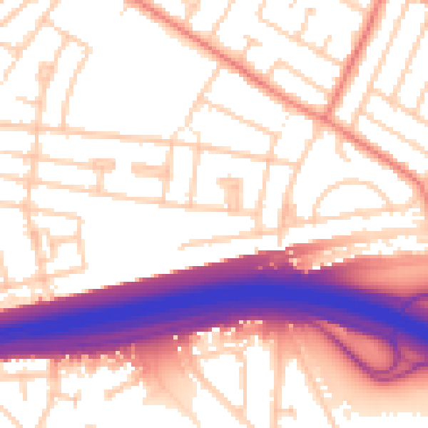
Daytime· 07:00 – 23:00
55.8dB

Night-time· 23:00 – 07:00
46.1dB