23 Hilary Avenue, Liverpool, L14 6TJ
About 23 Hilary Avenue
23 Hilary Avenue is a three-bedroom semi-detached house in Liverpool (L14 6TJ). It has a recorded floor area of 86 m² (around 926 sq ft), construction records dating it to 1930-1949 and council tax band B. The latest certificate (July 2021) shows a D (score 60), on the cusp of jumping into the C band. The recommended improvements would lift it to B (score 84), a 2-band jump. Other recorded features include a loft.
Across 1995–2021, sale prices on this property compounded at 6.1% per year. Today's modelled estimate of £222,000 is 21.2% above the 2021 sale price. On a £-per-square-foot basis, the last sale (£198/sq ft) was about 69.3% above the typical sold price in the postcode. Most recent transfer: August 2021 at £183,200. That sale was during the post-pandemic price surge, when transactions cleared materially above pre-2020 trend.
What this property has
Inside
- Bedrooms3
- Bathrooms1
- LoftYes
Outside
- Private gardenRear
- DrivewayYes
Everything you need to know about 23 Hilary Avenue
The true value, the hidden risks and the full sale history, in one report.
Pick your report · every report is £14.99
One time fee only - money back guarantee

The data behind every report


Energy performance
Recommended upgrades on file would lift this property by multiple EPC bands.
EPC Rating
Get a survey for this property
Level 3 Building Survey
Because the property has solid (non-cavity) walls, we believe a Level 3 building survey should be considered.
From £885 · Includes VAT
Planning history
23 Hilary Avenue has no planning applications on record.
A planning report still maps activity across the surrounding area and reads this property's extension & conversion potential.
Sales history & valuation
Latest sale on 23 Hilary Avenue was the highest on Land Registry record across the postcode.
£222,000
Modelled from EPC, postcode comparables and a sale-price growth of 6.1% per year over 26 years.
£183,200
Growth on file: 6.1% per year over 26 years.
Sales timeline
5 August 2021Most recent
£183,200
+103.6%over 18 years24 March 2003
£90,000
+81.8%over 5 years14 November 1997
£49,500
+26.9%over 2 years13 July 1995
£39,000
Median price across the last 5 sales in L14 6TJ: £108,000 (2021–2013).
Nearby sales in L14 6TJ
Versus other Hilary Avenue homes
23 Hilary Avenue outperforms the street on price per m² by a wide margin.
Price per m²
£2,130
Street avg £1,271
Floor Area
86 m²
Street avg 84 m²
Habitable Rooms
4 rooms
Street avg 5 rooms
CO₂ Emissions
4.3 t/year
Street avg 6.1 t/year
Everything you need to know about 23 Hilary Avenue
The true value, the hidden risks and the full sale history, in one report.
Pick your report · every report is £14.99
One time fee only - money back guarantee
The data behind every report
Similar properties nearby
1 Norbreck Avenue
L14 6UN
1 Ringwood Avenue
L14 6TH
1 Greystone Road, Broadgreen
L14 6UD
10 Regent Avenue
L14 6UL
10 Malvern Crescent
L14 6TP
1 Penrose Avenue West
L14 6UT
1 Westfield Avenue
L14 6UY
10 Corwen Crescent
L14 6TB
The neighbourhood at a glance
Reported crime in the wider district is trending notably upward year-on-year.
Crime
6/mo
Rising year-on-year across the wider district.
Nearest stop
0.2 km
Mayfair Avenue — bus stop.
Closest school
0.3 km
Malvern Primary School. 46 schools nearby.
Go deeper on the local area
A Local Area report breaks down crime, transport links, schools and air quality in depth.
Road noise across the postcode
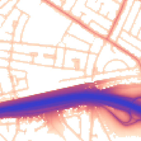
Daytime· 07:00 – 23:00
55.8dB

Night-time· 23:00 – 07:00
46.1dB