1 Clayford Way, Liverpool, L14 1PP
About 1 Clayford Way
1 Clayford Way is a semi-detached house in Liverpool (L14 1PP). It has a recorded floor area of 78 m² (around 840 sq ft), construction records dating it to 1930-1949 and council tax band B. The latest certificate (June 2013) shows a D (score 64), on the cusp of jumping into the C band. The recommended improvements would lift it to B (score 85), a 2-band jump. The latest certificate is from June 2013, so improvements made since then won't be reflected.
It hasn't traded since March 1999, a hold of 27 years that's notably long for the area. Only one transfer is on record with HM Land Registry, suggesting it has stayed in the same hands for a long time. Today's modelled estimate of £165,000 sits 292.9% above the 1999 sale of £42,000. On a £-per-square-foot basis, the last sale (£50/sq ft) was about 52.5% below the postcode norm.
Everything you need to know about 1 Clayford Way
The true value, the hidden risks and the full sale history, in one report.
Pick your report · every report is £14.99
One time fee only - money back guarantee

The data behind every report


Energy performance
Recommended upgrades on file would lift this property by multiple EPC bands.
EPC Expired
This certificate is over 10 years old and is no longer valid.Expired 12 Jun 2023
EPC Rating
Get a survey for this property
Level 2 HomeBuyer Report
We've checked 10 risk factors against the available data for this property and believe a Level 2 HomeBuyer Report could be a suitable option for you.
From £495 · Includes VAT
Planning history
1 Clayford Way has no planning applications on record.
A planning report still maps activity across the surrounding area and reads this property's extension & conversion potential.
Sales history & valuation
1 Clayford Way's estimated value is more than triple its earliest registered sale price (1999).
£165,000
Modelled from EPC, postcode comparables.
£42,000
Recorded with HM Land Registry.
Sales timeline
19 March 1999Most recent
£42,000
Median price across the last 5 sales in L14 1PP: £154,950 (2025–2011).
Nearby sales in L14 1PP
Versus other Clayford Way homes
On price per m², 1 Clayford Way runs well behind the street norm.
Price per m²
£538
Street avg £1,702
Floor Area
78 m²
Street avg 85 m²
Habitable Rooms
4 rooms
Street avg 5 rooms
CO₂ Emissions
3.7 t/year
Street avg 3.8 t/year
Everything you need to know about 1 Clayford Way
The true value, the hidden risks and the full sale history, in one report.
Pick your report · every report is £14.99
One time fee only - money back guarantee
The data behind every report
Similar properties nearby
The neighbourhood at a glance
Reported crime in the wider district is trending notably upward year-on-year.
Crime
6/mo
Rising year-on-year across the wider district.
Nearest stop
0.1 km
Chatterton Road — bus stop.
Closest school
0.6 km
Dixons Broadgreen Academy. 49 schools nearby.
Go deeper on the local area
A Local Area report breaks down crime, transport links, schools and air quality in depth.
Road noise across the postcode
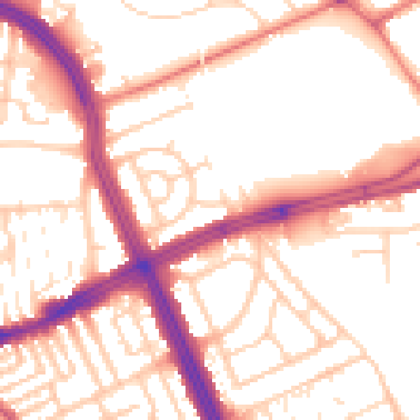
Daytime· 07:00 – 23:00
54.3dB

Night-time· 23:00 – 07:00
44.5dB