21 Daymerslea Ridge, Leatherhead, KT22 8TF
About 21 Daymerslea Ridge
21 Daymerslea Ridge is a five-bedroom detached house in Leatherhead (KT22 8TF). It has a recorded floor area of 160 m² (around 1722 sq ft), construction records dating it to 1950-1966 and council tax band F. The latest certificate (June 2014) shows a C (score 69), just inside the C band. When first surveyed in April 2011 the rating was D, the property has climbed 1 band since. Between certificates, roof efficiency went from Very Poor to Average; while window efficiency dropped from Good to Average. The latest certificate is from June 2014, so improvements made since then won't be reflected. Period features are noted in the property record.
At 160 m² the property is well over the postcode median (111 m² across 14 EPCs), placing it in the larger end of the local stock. On energy efficiency it sits in the top 10% of properties in this postcode. 5 bedrooms is on the larger side for this postcode, where 4 is the typical count. On the market in September 2017 and unlisted since — roughly 9 years. Across the public record there are 4 sales, relatively high churn for a single property. Across 2000–2017, sale prices on this property compounded at 5.3% per year. Today's modelled estimate of £860,000 is 25.4% above the 2017 sale price. On a £-per-square-foot basis, the last sale (£398/sq ft) was about 41% above the typical sold price in the postcode.
Know exactly what you're buying at 21 Daymerslea Ridge
Before you offer, see what the listing won't tell you, the true value, the red flags and the full history.
Already flagged here
Valuation
against the asking price
Risks
planning & flood
Sold prices
similar homes nearby
Trends
the local market
What this property has
Inside
- Bedrooms5
- Bathrooms2
- EnsuiteYes
Outside
- Private gardenSouth-west-facing
- GarageIntegral
Building
- Period featuresYes
- RefurbishedYes
Energy performance
21 Daymerslea Ridge ranks among the most efficient homes in the postcode for energy use.
EPC Expired
This certificate is over 10 years old and is no longer valid.Expired 25 Jun 2024
EPC Rating
Property Improvements
Changes detected from historical EPC data
Windows upgraded, improving insulation
Roof insulation improved
Low energy lighting percentage decreased
Planning history
21 Daymerslea Ridge has no planning applications on record.
Notable planning nearby
2applications of note in the surrounding area
We flagged 1 thing worth checking at 21 Daymerslea Ridge
Independent checks surfaced things a buyer would want to understand before offering. The report explains each one in full, with the underlying data and what to ask.
- Larger development activity nearby
30-day money-back guarantee
Sales history & valuation
21 Daymerslea Ridge has more than doubled in price since the earliest registered sale in 2000.
£860,000
Modelled from EPC, postcode comparables and a sale-price growth of 5.3% per year over 17 years.
£686,000
Growth on file: 5.3% per year over 17 years.
Sales timeline
14 September 2017Most recent
£686,000
+40.0%over 5 years27 May 2012
£490,000
+23.1%over 9 years6 November 2002
£398,000
+42.1%over 2 years6 April 2000
£280,000
Median price across the last 5 sales in KT22 8TF: £618,000 (2024–2017).
Nearby sales in KT22 8TF
17 Daymerslea Ridge, Leatherhead, KT22 8TF
Sold Nov 2024
£750,0007 Daymerslea Ridge, Leatherhead, KT22 8TF
Sold May 2021
£618,00011 Daymerslea Ridge, Leatherhead, KT22 8TF
Sold Oct 2018
£600,0005 Daymerslea Ridge, Leatherhead, KT22 8TF
Sold Nov 2017
£522,50018 Daymerslea Ridge, Leatherhead, KT22 8TF
Sold Jun 2017
£720,000
Everything we know about 21 Daymerslea Ridge, in one report
What it's really worth, what could be wrong, and the planning, sales and area data in full.
What we flagged
- Larger development activity nearby

Versus other Daymerslea Ridge homes
21 Daymerslea Ridge outperforms the street on epc rating by a wide margin.
Price per m²
£4,288
Street avg £4,730
Floor Area
160 m²
Street avg 113 m²
Habitable Rooms
8 rooms
Street avg 5 rooms
CO₂ Emissions
5.0 t/year
Street avg 6.1 t/year
Similar properties nearby
The neighbourhood at a glance
Crime
3/mo
Steady year-on-year across the wider district.
Nearest stop
0.1 km
Melvinshaw — bus stop.
Closest school
0.6 km
St Andrew's Catholic School. 11 schools nearby.
Go deeper on the local area
The full report breaks down crime, transport links, schools and air quality in depth.
Road noise across the postcode
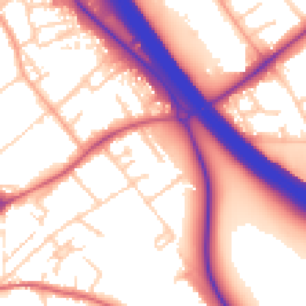
Daytime· 07:00 – 23:00
57.4dB

Night-time· 23:00 – 07:00
50.1dB