1 Dysart Avenue, Kingston Upon Thames, KT2 5QZ
About 1 Dysart Avenue
1 Dysart Avenue is a property in Kingston Upon Thames (KT2 5QZ). It has council tax band F.
10 planning records sit against the property, 4 approved, 4 refused. Past consents include a basement excavation, meaningful when judging how the property has evolved. Last changed hands 15 years ago, in July 2011. Across 1998–2011, sale prices on this property compounded at 10.3% per year.
Everything you need to know about 1 Dysart Avenue
The true value, the hidden risks and the full sale history, in one report.
30-day money-back guarantee

The data behind every report


Energy performance
No EPC on record
This property doesn't have an Energy Performance Certificate yet. An EPC is required to sell or let — and unlocks our automated valuation.
Planning history
1 Dysart Avenue has 4 separate extension applications on the council record.
- Mar 2011BasementAmendmentIn report
Erection of 2 storey detached 3 bedroom dwelling with rooms in basement (extension of time to application 08/12168)
- Documents
- 2 docs on file
- Reference
- 10/12818/EXT
- Mar 2011BasementAmendmentIn report
Erection of 2 storey detached 3 bedroom dwelling with rooms in basement (extension of time to application 08/12168)
- Council
- Kingston Town
- Documents
- 2 docs on file
- Reference
- 10/12818
What's in 1 Dysart Avenue, Kingston Upon Thames, KT2 5QZ's planning history?
8 more on this property, plus refusals, disputes and full decisions nearby, in the report.
Sales history & valuation
Sale price has grown by over 3x since 1998.
£770,000
Growth on file: 10.3% per year over 13 years.
Sales timeline
24 July 2011Most recent
£770,000
+250.0%over 12 years28 October 1998
£220,000
Median price across the last 5 sales in KT2 5QZ: £756,500 (2023–2018).
Nearby sales in KT2 5QZ
49 Dysart Avenue, Kingston Upon Thames, KT2 5QZ
Sold Apr 2023
£1,020,0005 Dysart Avenue, Kingston Upon Thames, KT2 5QZ
Sold Jun 2022
£1,210,00045 Dysart Avenue, Kingston Upon Thames, KT2 5QZ
Sold Dec 2019
£756,50017 Dysart Avenue, Kingston Upon Thames, KT2 5QZ
Sold May 2019
£740,00047 Dysart Avenue, Kingston Upon Thames, KT2 5QZ
Sold Jan 2018
£747,500
Everything you need to know about 1 Dysart Avenue
The true value, the hidden risks and the full sale history, in one report.
30-day money-back guarantee
The data behind every report
Similar properties nearby
The neighbourhood at a glance
Reported crime in the wider district is trending notably upward year-on-year.
Crime
5/mo
Rising year-on-year across the wider district.
Nearest stop
0.1 km
Lammas Road — bus stop.
Closest school
0.5 km
Meadlands Primary School. 34 schools nearby.
Go deeper on the local area
The full report breaks down crime, transport links, schools and air quality in depth.
Road noise across the postcode
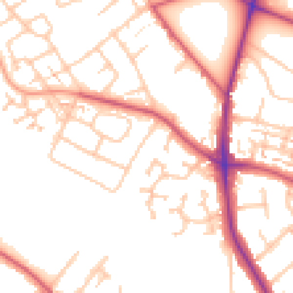
Daytime· 07:00 – 23:00
51.3dB

Night-time· 23:00 – 07:00
41.5dB