23 Colchester Road, Ipswich, IP4 3BT
About 23 Colchester Road
23 Colchester Road is a four-bedroom detached house in Ipswich (IP4 3BT). It has a recorded floor area of 104 m² (around 1118 sq ft), construction records dating it to 1950-1966 and council tax band D. The latest certificate (July 2011) shows a D (score 63), on the cusp of jumping into the C band. The recommended improvements would push it to C (score 69). The latest certificate is from July 2011, so improvements made since then won't be reflected. Other recorded features include outbuildings. Records show the property has been extended at some point in its history.
Most recent transfer: October 2020 at £520,000. Across the public record there are 4 sales, relatively high churn for a single property. Across 1999–2020, sale prices on this property compounded at 8.2% per year. On a £-per-square-foot basis, the last sale (£465/sq ft) was about 128.8% above the typical sold price in the postcode. One historical planning record sits against the property in 2013.
What this property has
Inside
- Bedrooms4
- Bathrooms2
- Open-plan layoutYes
- Dining roomYes
- Utility roomYes
- CloakroomYes
- EnsuiteYes
Outside
- OutbuildingsYes
Building
- Previously extendedYes
- RefurbishedYes
Everything you need to know about 23 Colchester Road
The true value, the hidden risks and the full sale history, in one report.
Pick your report · every report is £14.99
One time fee only - money back guarantee

The data behind every report


Energy performance
23 Colchester Road's EPC is over a decade old — improvements since won't be reflected.
EPC Expired
This certificate is over 10 years old and is no longer valid.Expired 07 Jul 2021
EPC Rating
Get a survey for this property
Level 3 Building Survey
Because the property has permanent outbuildings, we believe a Level 3 building survey should be considered.
From £1,085 · Includes VAT
Planning history
1 application on record at 23 Colchester Road, Ipswich, IP4 3BT
- May 2013Loft ConversionFullOutcome in report
Extension: Part single, part two storey · Rear of property
Part two/part single storey rear extension, raising of roof to form loft conversion and summer house in rear garden.
Extension- Documents
- 4 docs on file
- Reference
- 13/00255/FUL
Unlock 23 Colchester Road, Ipswich, IP4 3BT's full planning history
You're seeing the shape of it. The report has the substance.
- Every decision — granted, refused or withdrawn
- All 1 application on this property in full, plus 2 notable nearby
- The 4 documents, officer reports & conditions
- What the pattern means for extending or converting here
One time fee only - money back guarantee
Sales history & valuation
Latest sale on 23 Colchester Road was the highest on Land Registry record across the postcode.
£553,000
Modelled from EPC, postcode comparables and a sale-price growth of 8.2% per year over 21 years.
£520,000
Growth on file: 8.2% per year over 21 years.
Sales timeline
8 October 2020Most recent
£520,000
+115.3%over 8 years12 September 2012
£241,500
+110.0%over 11 years2 March 2001
£115,000
+16.8%over 1 year19 August 1999
£98,500
Median price across the last 5 sales in IP4 3BT: £307,000 (2025–2021).
Nearby sales in IP4 3BT
Versus other Colchester Road homes
On price per m², 23 Colchester Road stands well clear of the street.
Price per m²
£5,005
Street avg £2,680
Floor Area
104 m²
Street avg 115 m²
Habitable Rooms
8 rooms
Street avg 5 rooms
CO₂ Emissions
4.6 t/year
Street avg 5.3 t/year
Everything you need to know about 23 Colchester Road
The true value, the hidden risks and the full sale history, in one report.
Pick your report · every report is £14.99
One time fee only - money back guarantee
The data behind every report
Similar properties nearby
The neighbourhood at a glance
Reported crime in the wider district is trending notably upward year-on-year.
Crime
9/mo
Rising year-on-year across the wider district.
Nearest stop
0.2 km
Bromeswell Road — bus stop.
Closest school
0.5 km
Northgate High School. 20 schools nearby.
Go deeper on the local area
A Local Area report breaks down crime, transport links, schools and air quality in depth.
Road noise across the postcode
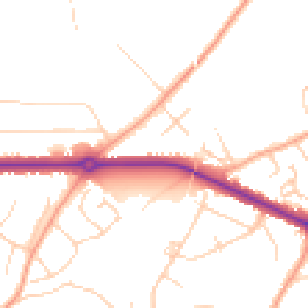
Daytime· 07:00 – 23:00
49.0dB

Night-time· 23:00 – 07:00
39.5dB