8 Bromeswell Road, Ipswich, IP4 3AS
About 8 Bromeswell Road
8 Bromeswell Road is a two-bedroom detached house in Ipswich (IP4 3AS). It has a recorded floor area of 105 m² (around 1130 sq ft), construction records dating it to 1950-1966 and council tax band D. The latest certificate (October 2024) shows a D (score 61), on the cusp of jumping into the C band. The recommended improvements would lift it to B (score 83), a 2-band jump. Records show the property has been extended at some point in its history.
It hasn't traded since July 2000, a hold of 26 years that's notably long for the area. Only one transfer is on record with HM Land Registry, suggesting it has stayed in the same hands for a long time. Today's modelled estimate of £401,000 sits 171% above the 2000 sale of £147,995. On a £-per-square-foot basis, the last sale (£131/sq ft) was about 39.6% below the postcode norm.
What this property has
Inside
- Bedrooms2
- Bathrooms1
- Dining roomYes
- EnsuiteYes
Outside
- Private gardenRear
- GarageYes
Building
- Heating systemGas
- Previously extendedYes
Everything you need to know about 8 Bromeswell Road
The true value, the hidden risks and the full sale history, in one report.
Pick your report · every report is £14.99
One time fee only - money back guarantee

The data behind every report


Energy performance
Recommended upgrades on file would lift this property by multiple EPC bands.
EPC Rating
Get a survey for this property
Level 2 HomeBuyer Report
We've checked 10 risk factors against the available data for this property and believe a Level 2 HomeBuyer Report could be a suitable option for you.
From £695 · Includes VAT
Planning history
8 Bromeswell Road has no planning applications on record.
But the area is active
2 notable applications nearby — larger schemes and conversions that could reshape the street. The report maps them all.
Sales history & valuation
8 Bromeswell Road valuation sits well clear of the typical sold price in this postcode.
£401,000
Modelled from EPC, postcode comparables.
£147,995
Recorded with HM Land Registry.
Sales timeline
13 July 2000Most recent
£147,995
Median price across the last 5 sales in IP4 3AS: £355,000 (2024–2018).
Nearby sales in IP4 3AS
Versus other Bromeswell Road homes
On price per m², 8 Bromeswell Road runs well behind the street norm.
Price per m²
£1,409
Street avg £2,778
Floor Area
105 m²
Street avg 101 m²
Habitable Rooms
4 rooms
Street avg 5 rooms
CO₂ Emissions
4.9 t/year
Street avg 4.5 t/year
Everything you need to know about 8 Bromeswell Road
The true value, the hidden risks and the full sale history, in one report.
Pick your report · every report is £14.99
One time fee only - money back guarantee
The data behind every report
Similar properties nearby
1 Colchester Road
IP4 3BT
1 Halfway Cottages, Tuddenham Road
IP4 3QH
1 Aberfoyle Close
IP4 3PN
1 Alma Close
IP4 3DA
1 Kinross Road
IP4 3PL
1 Ely Road
IP4 3BY
1 Dorset Close
IP4 3BJ
1 North Lawn
IP4 3LL
The neighbourhood at a glance
Reported crime in the wider district is trending notably upward year-on-year.
Crime
9/mo
Rising year-on-year across the wider district.
Nearest stop
0.1 km
Armstrong House — bus stop.
Closest school
0.7 km
Northgate High School. 22 schools nearby.
Go deeper on the local area
A Local Area report breaks down crime, transport links, schools and air quality in depth.
Road noise across the postcode
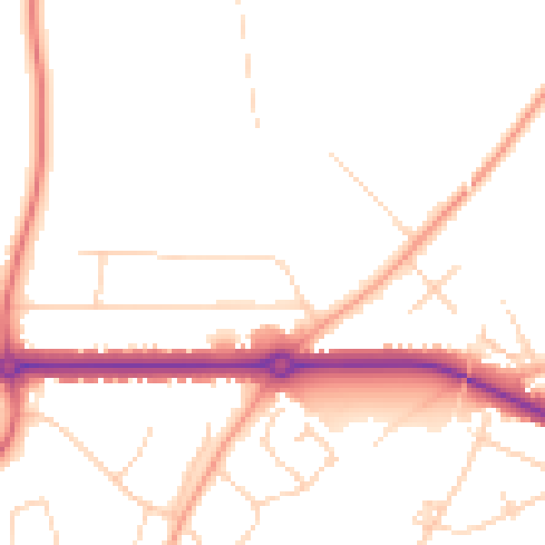
Daytime· 07:00 – 23:00
49.0dB

Night-time· 23:00 – 07:00
40.2dB