12 Bromeswell Road, Ipswich, IP4 3AS
About 12 Bromeswell Road
12 Bromeswell Road is a two-bedroom detached house in Ipswich (IP4 3AS). It has a recorded floor area of 108 m² (around 1163 sq ft), construction records dating it to 1950-1966 and council tax band D. The latest certificate (August 2013) shows a D (score 60), on the cusp of jumping into the C band. The recommended improvements would push it to C (score 78). The latest certificate is from August 2013, so improvements made since then won't be reflected.
Today's modelled estimate of £376,000 sits 53.5% above the 2013 sale of £245,000. 13 years since the last transfer (September 2013). One historical planning record sits against the property in 2015.
What this property has
Inside
- Bedrooms2
Everything you need to know about 12 Bromeswell Road
The true value, the hidden risks and the full sale history, in one report.
Pick your report · every report is £14.99
One time fee only - money back guarantee

The data behind every report


Energy performance
12 Bromeswell Road's EPC is over a decade old — improvements since won't be reflected.
EPC Expired
This certificate is over 10 years old and is no longer valid.Expired 18 Aug 2023
EPC Rating
Get a survey for this property
Level 2 HomeBuyer Report
We've checked 10 risk factors against the available data for this property and believe a Level 2 HomeBuyer Report could be a suitable option for you.
From £595 · Includes VAT
Planning history
1 application on record at 12 Bromeswell Road, Ipswich, IP4 3AS
- Aug 2015ExtensionOutlineOutcome in report
Extension: Single storey
Prior notification of larger household extension max height 3.06m, height to eaves 2.81m, depth 4.4m.
- Documents
- 3 docs on file
- Reference
- 15/00695/PDE
Unlock 12 Bromeswell Road, Ipswich, IP4 3AS's full planning history
You're seeing the shape of it. The report has the substance.
- Every decision — granted, refused or withdrawn
- All 1 application on this property in full, plus 2 notable nearby
- The 3 documents, officer reports & conditions
- What the pattern means for extending or converting here
One time fee only - money back guarantee
Sales history & valuation
12 Bromeswell Road valuation sits well clear of the typical sold price in this postcode.
£376,000
Modelled from EPC, postcode comparables.
£245,000
Recorded with HM Land Registry.
Sales timeline
30 September 2013Most recent
£245,000
Median price across the last 5 sales in IP4 3AS: £355,000 (2024–2018).
Nearby sales in IP4 3AS
Versus other Bromeswell Road homes
On floor area, 12 Bromeswell Road stands well clear of the street.
Price per m²
£2,269
Street avg £2,720
Floor Area
108 m²
Street avg 100 m²
Habitable Rooms
4 rooms
Street avg 5 rooms
CO₂ Emissions
4.8 t/year
Street avg 4.5 t/year
Everything you need to know about 12 Bromeswell Road
The true value, the hidden risks and the full sale history, in one report.
Pick your report · every report is £14.99
One time fee only - money back guarantee
The data behind every report
Similar properties nearby
1 Colchester Road
IP4 3BT
1 Halfway Cottages, Tuddenham Road
IP4 3QH
1 Aberfoyle Close
IP4 3PN
1 Alma Close
IP4 3DA
1 Kinross Road
IP4 3PL
1 Ely Road
IP4 3BY
1 Dorset Close
IP4 3BJ
1 North Lawn
IP4 3LL
The neighbourhood at a glance
Reported crime in the wider district is trending notably upward year-on-year.
Crime
9/mo
Rising year-on-year across the wider district.
Nearest stop
0.1 km
Armstrong House — bus stop.
Closest school
0.7 km
Northgate High School. 22 schools nearby.
Go deeper on the local area
A Local Area report breaks down crime, transport links, schools and air quality in depth.
Road noise across the postcode
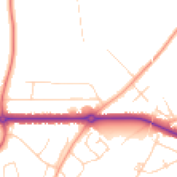
Daytime· 07:00 – 23:00
49.0dB

Night-time· 23:00 – 07:00
40.2dB