6 Finbars Walk, Ipswich, IP4 1HY
About 6 Finbars Walk
6 Finbars Walk is a mid-terrace house in Ipswich (IP4 1HY). It has a recorded floor area of 46 m² (around 493 sq ft), construction records dating it to 1983-1990 and council tax band B. The latest certificate (December 2008) shows a D (score 66), on the cusp of jumping into the C band. The recommended improvements would push it to C (score 77). The latest certificate is from December 2008, so improvements made since then won't be reflected.
Untraded for 27 years, with the last transfer in April 1999. Only one transfer is on record with HM Land Registry, suggesting it has stayed in the same hands for a long time. Today's modelled estimate of £171,000 sits 256.3% above the 1999 sale of £48,000. On a £-per-square-foot basis, the last sale (£97/sq ft) was about 15.5% below the postcode norm.
Everything you need to know about 6 Finbars Walk
The true value, the hidden risks and the full sale history, in one report.
Pick your report · every report is £14.99
One time fee only - money back guarantee

The data behind every report


Energy performance
6 Finbars Walk's EPC is over a decade old — improvements since won't be reflected.
EPC Expired
This certificate is over 10 years old and is no longer valid.Expired 03 Dec 2018
EPC Rating
Get a survey for this property
Level 2 HomeBuyer Report
We've checked 10 risk factors against the available data for this property and believe a Level 2 HomeBuyer Report could be a suitable option for you.
From £495 · Includes VAT
Planning history
6 Finbars Walk has no planning applications on record.
But the area is active
6 notable applications nearby — larger schemes and conversions that could reshape the street. The report maps them all.
Sales history & valuation
6 Finbars Walk's estimated value is more than triple its earliest registered sale price (1999).
£171,000
Modelled from EPC, postcode comparables.
£48,000
Recorded with HM Land Registry.
Sales timeline
8 April 1999Most recent
£48,000
Median price across the last 5 sales in IP4 1HY: £180,000 (2025–2024).
Versus other Finbars Walk homes
On floor area, 6 Finbars Walk runs well behind the street norm.
Price per m²
£1,047
Street avg £2,302
Floor Area
46 m²
Street avg 53 m²
Habitable Rooms
3 rooms
Street avg 3 rooms
CO₂ Emissions
2.7 t/year
Street avg 2.5 t/year
Everything you need to know about 6 Finbars Walk
The true value, the hidden risks and the full sale history, in one report.
Pick your report · every report is £14.99
One time fee only - money back guarantee
The data behind every report
Similar properties nearby
The neighbourhood at a glance
Reported crime in the wider district is trending notably upward year-on-year.
Crime
9/mo
Rising year-on-year across the wider district.
Nearest stop
0.2 km
Nottidge Road — bus stop.
Closest school
0.2 km
Clifford Road Primary School & Nursery. 28 schools nearby.
Go deeper on the local area
A Local Area report breaks down crime, transport links, schools and air quality in depth.
Road noise across the postcode
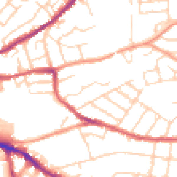
Daytime· 07:00 – 23:00
50.3dB

Night-time· 23:00 – 07:00
40.4dB