4 Abrey Close, Risby, Bury St Edmunds, IP28 6RY
About 4 Abrey Close
4 Abrey Close is a detached house in Risby, Bury St. Edmunds, Bury St Edmunds (IP28 6RY). It has a recorded floor area of 172 m² (around 1851 sq ft). The latest certificate (May 2017) returns a B (score 84), comfortably above the UK average. The recommended improvements would push it to A (score 92). Main heating runs on electricity: electricity, unspecified tariff.
At 172 m² it sits well below the postcode median (246 m² across 3 EPCs), making it one of the more compact homes locally. 9 years since the last transfer (June 2017). Today's modelled estimate of £663,000 is 26.3% above the 2017 sale price.
Know exactly what you're buying at 4 Abrey Close
Before you offer, see what the listing won't tell you, the true value, the red flags and the full history.
Already flagged here
Valuation
against the asking price
Risks
planning & flood
Sold prices
similar homes nearby
Trends
the local market
Energy performance
EPC Rating
Planning history
4 Abrey Close has no planning applications on record.
Notable planning nearby
2applications of note in the surrounding area
We flagged 1 thing worth checking at 4 Abrey Close
Independent checks surfaced things a buyer would want to understand before offering. The report explains each one in full, with the underlying data and what to ask.
- Larger development activity nearby
30-day money-back guarantee
Sales history & valuation
£663,000
Modelled from EPC, postcode comparables.
£524,950
Recorded with HM Land Registry.
Sales timeline
20 June 2017Most recent
£524,950
Median price across the last 3 sales in IP28 6RY: £749,950 (2017–2017).
Everything we know about 4 Abrey Close, in one report
What it's really worth, what could be wrong, and the planning, sales and area data in full.
What we flagged
- Larger development activity nearby

Versus other Abrey Close homes
Price per m² for 4 Abrey Close runs comfortably ahead of the street norm.
Price per m²
£3,052
Street avg £2,838
Floor Area
172 m²
Street avg 247 m²
CO₂ Emissions
2.2 t/year
Street avg 2.9 t/year
Years Held
9 years
Street avg 9 years
Similar properties nearby
1 Church Lane, Barton Mills
IP28 6AU
1 Chapel Lane, Tuddenham
IP28 6SP
1 Cornwallis Close, West Stow
IP28 6EU
1 Chestnut Close, Barton Mills
IP28 6AF
1 Abrey Close, Risby
IP28 6RY
1 Chimney Mills, West Stow
IP28 6ES
1 Bakers Way, High Street, Tuddenham
IP28 6SL
1 Carnoustie Drive, Fornham St Martin
IP28 6UU
The neighbourhood at a glance
Crime
3/mo
Steady year-on-year across the wider district.
Nearest stop
0.2 km
School — bus stop.
Closest school
0.2 km
Risby Church of England Voluntary Controlled Primary School. 1 school nearby.
Go deeper on the local area
The full report breaks down crime, transport links, schools and air quality in depth.
Road noise across the postcode
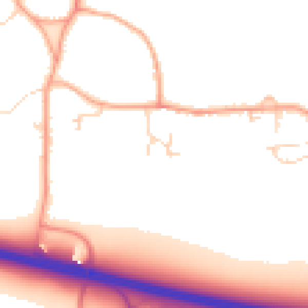
Daytime· 07:00 – 23:00
52.5dB

Night-time· 23:00 – 07:00
45.1dB