82i, Victoria Road, Diss, IP22 4JG
About 82i
82i is a two-bedroom property in Diss (IP22 4JG). It has council tax band B.
It hasn't traded since January 2011, a hold of 15 years that's notably long for the area. Across 2006–2011, sale prices on this property compounded at 3.6% per year.
Know exactly what you're buying at 82i
Before you offer, see what the listing won't tell you, the true value, the red flags and the full history.
Already flagged here
Valuation
against the asking price
Risks
planning & flood
Sold prices
similar homes nearby
Trends
the local market
What this property has
Inside
- Bedrooms2
Outside
- ParkingOff road
Building
- RefurbishedYes
Energy performance
No EPC on record
This property doesn't have an Energy Performance Certificate yet. An EPC is required to sell or let — and unlocks our automated valuation.
Planning history
82i has no planning applications on record.
Notable planning nearby
1applications of note in the surrounding area
We flagged 1 thing worth checking at 82i
Independent checks surfaced things a buyer would want to understand before offering. The report explains each one in full, with the underlying data and what to ask.
- Larger development activity nearby
30-day money-back guarantee
Sales history & valuation
£124,000
Growth on file: 3.6% per year over 5 years.
Sales timeline
11 January 2011Most recent
£124,000
+18.1%over 4 years21 May 2006
£105,000
Median price across the last 5 sales in IP22 4JG: £230,000 (2025–2023).
Nearby sales in IP22 4JG
Everything we know about 82i, in one report
What it's really worth, what could be wrong, and the planning, sales and area data in full.
What we flagged
- Larger development activity nearby

Similar properties nearby
1 Aldrich Way, Roydon
IP22 4FJ
1 Albert Terrace, Victoria Road
IP22 4RJ
1 Bramley Road
IP22 4LT
1 Blomefield Road
IP22 4NU
1 Bellacre Close
IP22 4HJ
1 Cherry Tree Court
IP22 4QW
1 Basham Street
IP22 4YY
1 Cotman Close
IP22 4BS
The neighbourhood at a glance
Rail-style transport is unusually close for this postcode.
Crime
2/mo
Steady year-on-year across the wider district.
Nearest stop
0.5 km
Diss Rail Station — railway station.
Closest school
0.5 km
Diss Infant Academy and Nursery. 6 schools nearby.
Go deeper on the local area
The full report breaks down crime, transport links, schools and air quality in depth.
Road noise across the postcode
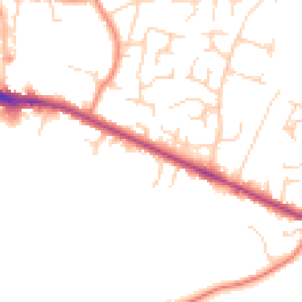
Daytime· 07:00 – 23:00
47.9dB

Night-time· 23:00 – 07:00
39.7dB