37 The Drive, Loughton, IG10 1HB
About 37 The Drive
37 The Drive is a four-bedroom semi-detached house in Loughton (IG10 1HB). It has a recorded floor area of 72 m² (around 773 sq ft), construction records dating it to 1950-1966 and council tax band F. The latest certificate (November 2011) shows a D (score 56), a step below the typical UK home. The latest certificate is from November 2011, so improvements made since then won't be reflected.
Today's modelled estimate of £755,000 sits 52.5% above the 2012 sale of £495,000. On a £-per-square-foot basis, the last sale (£641/sq ft) was about 99.8% above the typical sold price in the postcode. At 72 m² it sits well below the postcode median (142 m² across 9 EPCs), making it one of the more compact homes locally. On the market in April 2012 and unlisted since — roughly 14 years.
Know exactly what you're buying at 37 The Drive
Before you offer, see what the listing won't tell you, the true value, the red flags and the full history.
Valuation
against the asking price
Risks
planning & flood
Sold prices
similar homes nearby
Trends
the local market
What this property has
Inside
- Bedrooms4
Energy performance
37 The Drive's EPC is over a decade old — improvements since won't be reflected.
EPC Expired
This certificate is over 10 years old and is no longer valid.Expired 04 Nov 2021
EPC Rating
Planning history
37 The Drive has no planning applications on record.
The full report still covers planning activity across the surrounding area.
Sales history & valuation
37 The Drive valuation sits well clear of the typical sold price in this postcode.
£755,000
Modelled from EPC, postcode comparables.
£495,000
Recorded with HM Land Registry.
Sales timeline
11 April 2012Most recent
£495,000
Median price across the last 5 sales in IG10 1HB: £826,000 (2025–2021).
Everything we know about 37 The Drive, in one report
What it's really worth, what could be wrong, and the planning, sales and area data in full.
- Am I paying too much?
- Is something wrong with it?
- Is the agent's story true?
- Will it hold its value?

Versus other The Drive homes
On floor area, 37 The Drive runs well behind the street norm.
Price per m²
£6,895
Street avg £5,631
Floor Area
72 m²
Street avg 132 m²
Habitable Rooms
7 rooms
Street avg 6 rooms
CO₂ Emissions
4.2 t/year
Street avg 7.1 t/year
Similar properties nearby
1 Brancaster Place, Church Hill
IG10 1QN
1 Forest Way
IG10 1JG
1 Hill Top Place, Hill Top Close
IG10 1PW
1 Ashfields
IG10 1SB
1 Church Lane
IG10 1PD
1 Grasmere Close
IG10 1SL
1 Elmores
IG10 1NS
1 Lanterns, Whitakers Way
IG10 1SQ
The neighbourhood at a glance
Rail-style transport is unusually close for this postcode.
Crime
4/mo
Steady year-on-year across the wider district.
Nearest stop
0.2 km
Traps Hill — bus stop.
Closest school
0.3 km
Staples Road Primary School. 13 schools nearby.
Go deeper on the local area
The full report breaks down crime, transport links, schools and air quality in depth.
Road noise across the postcode
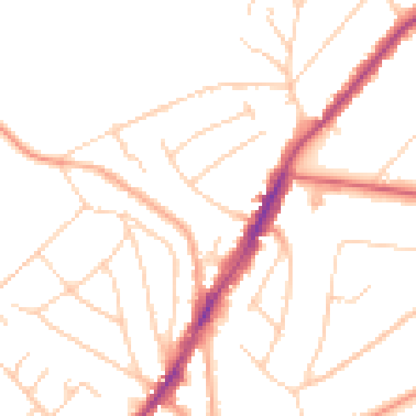
Daytime· 07:00 – 23:00
48.6dB

Night-time· 23:00 – 07:00
39.2dB