186a, Forest Road, Loughton, IG10 1EG
About 186a
186a is an end-of-terrace house in Loughton (IG10 1EG). It has a recorded floor area of 41 m² (around 441 sq ft), construction records dating it to 1983-1990 and council tax band B. The latest certificate (August 2019) shows a D (score 67), on the cusp of jumping into the C band. The recommended improvements would push it to C (score 74).
Held since March 1999 — that's 27 years off the open market, well above the local norm. Only one transfer is on record with HM Land Registry, suggesting it has stayed in the same hands for a long time. Today's modelled estimate of £319,000 sits 158.3% above the 1999 sale of £123,500. On a £-per-square-foot basis, the last sale (£280/sq ft) was about 25.3% below the postcode norm. At 41 m² it sits well below the postcode median (75 m² across 25 EPCs), making it one of the more compact homes locally.
Know exactly what you're buying at 186a
Before you offer, see what the listing won't tell you, the true value, the red flags and the full history.
Valuation
against the asking price
Risks
planning & flood
Sold prices
similar homes nearby
Trends
the local market
Energy performance
EPC Rating
Planning history
186a has no planning applications on record.
The full report still covers planning activity across the surrounding area.
Sales history & valuation
186a has been held in the same hands since before 2000.
£319,000
Modelled from EPC, postcode comparables.
£123,500
Recorded with HM Land Registry.
Sales timeline
31 March 1999Most recent
£123,500
Median price across the last 5 sales in IG10 1EG: £550,000 (2024–2021).
Nearby sales in IG10 1EG
Everything we know about 186a, in one report
What it's really worth, what could be wrong, and the planning, sales and area data in full.
- Am I paying too much?
- Is something wrong with it?
- Is the agent's story true?
- Will it hold its value?

Versus other Forest Road homes
Price per m² for 186a lags the street by a wide margin.
Price per m²
£3,012
Street avg £7,318
Floor Area
41 m²
Street avg 58 m²
CO₂ Emissions
2.0 t/year
Street avg 1.7 t/year
Years Held
27 years
Street avg 8 years
Similar properties nearby
The neighbourhood at a glance
Rail-style transport is unusually close for this postcode.
Crime
4/mo
Steady year-on-year across the wider district.
Nearest stop
0.4 km
Forest Road — bus stop.
Closest school
0.3 km
Staples Road Primary School. 13 schools nearby.
Go deeper on the local area
The full report breaks down crime, transport links, schools and air quality in depth.
Road noise across the postcode
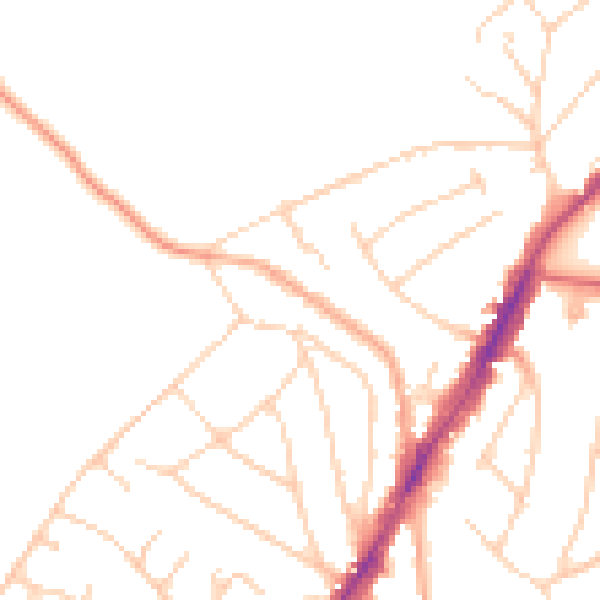
Daytime· 07:00 – 23:00
48.0dB

Night-time· 23:00 – 07:00
38.4dB