209b, High Road, Loughton, IG10 1BB
About 209b
209b is an end-of-terrace house in Loughton (IG10 1BB). It has a recorded floor area of 70 m² (around 753 sq ft), construction records dating it to 1900-1929 and council tax band D. The latest certificate (June 2020) shows a C (score 70). When first surveyed in December 2009 the rating was E, the property has climbed 2 bands since. Between certificates, roof efficiency went from Very Poor to Average and lighting went from Good to Very Good. At 70 m² this is the 8th smallest of 14 units on EPC record in the building, where floor areas span 33–89 m². The building's EPC ratings span E to B across 14 units on file.
Most recent transfer was December 2024 at £350,000 — fresh data. Today's modelled estimate of £410,000 is 17.1% above the 2024 sale price.
Know exactly what you're buying at 209b
Before you offer, see what the listing won't tell you, the true value, the red flags and the full history.
Valuation
against the asking price
Risks
planning & flood
Sold prices
similar homes nearby
Trends
the local market
Energy performance
EPC Rating
Property Improvements
Changes detected from historical EPC data
Roof insulation improved
More low energy lighting installed
Planning history
209b has no planning applications on record.
The full report still covers planning activity across the surrounding area.
Sales history & valuation
209b valuation sits well clear of the typical sold price in this postcode.
£410,000
Modelled from EPC, postcode comparables.
£350,000
Recorded with HM Land Registry.
Sales timeline
16 December 2024Most recent
£350,000
Median price across the last 5 sales in IG10 1BB: £275,000 (2024–1999).
Everything we know about 209b, in one report
What it's really worth, what could be wrong, and the planning, sales and area data in full.
- Am I paying too much?
- Is something wrong with it?
- Is the agent's story true?
- Will it hold its value?

Versus other High Road homes
Price per m² for 209b lags the street by a wide margin.
Price per m²
£5,000
Street avg £5,848
Floor Area
70 m²
Street avg 65 m²
Habitable Rooms
3 rooms
Street avg 3 rooms
CO₂ Emissions
2.6 t/year
Street avg 1.7 t/year
Similar properties nearby
The neighbourhood at a glance
Rail-style transport is unusually close for this postcode.
Crime
4/mo
Steady year-on-year across the wider district.
Nearest stop
0.1 km
Forest Road — bus stop.
Closest school
0.4 km
Roding Valley High School. 13 schools nearby.
Go deeper on the local area
The full report breaks down crime, transport links, schools and air quality in depth.
Road noise across the postcode
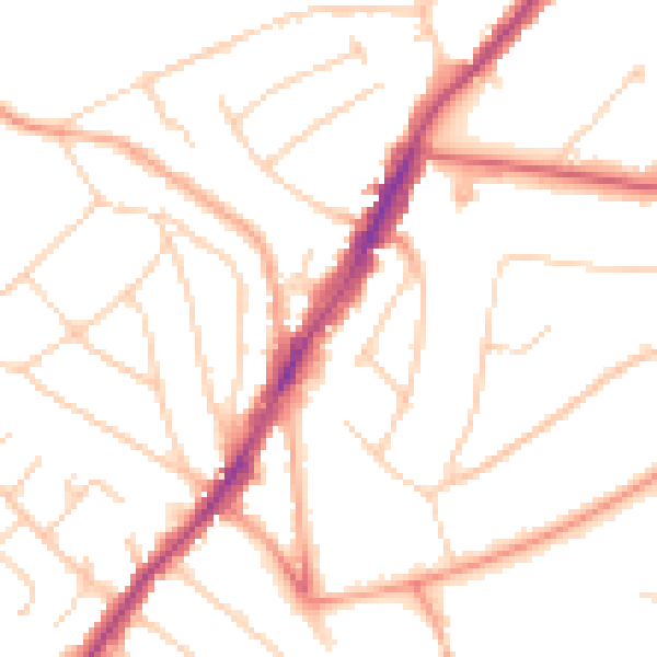
Daytime· 07:00 – 23:00
49.5dB

Night-time· 23:00 – 07:00
39.7dB