Are you a property professional?Get qualified leads from motivated homeowners.
Get started19 Fairfield Road, Ilford, IG1 2JL
About 19 Fairfield Road
A plain-English summary derived from public records, EPC certificates, sold prices and local data.
19 Fairfield Road is an end-of-terrace house in Ilford (IG1 2JL). It has a recorded floor area of 102 m² (around 1098 sq ft), construction records dating it to 1900-1929 and council tax band D. The latest certificate (December 2018) shows a D (score 59), a step below the typical UK home. The recommended improvements would lift it to B (score 83), a 2-band jump.
Untraded for 20 years, with the last transfer in July 2006. Today's modelled estimate of £481,000 sits 100.4% above the 2006 sale of £240,000. On a £-per-square-foot basis, the last sale (£219/sq ft) was about 17.1% above the typical sold price in the postcode.
Energy performance
Every EPC certificate filed against this property — current rating, recorded improvements, and where there's headroom to reach a higher band.
Recommended upgrades on file would lift this property by multiple EPC bands.
EPC Rating
A
B
C
D
D59
E
F
G
Main Heating
Gas
Main Fuel
Gas
Hot Water
Good
Windows
Average
CO2 Emissions
4.7 t/year
Occupancy
Rented
Sales history & valuation
Recorded transactions, our model's current estimate, and a quick read on what neighbouring properties have sold for.
19 Fairfield Road valuation sits well clear of the typical sold price in this postcode.
Current estimate
See how we calculated this£481,000
Modelled from EPC, postcode comparables.
Last sold (2006)
£240,000
Recorded with HM Land Registry.
Sales timeline
Versus other Fairfield Road homes
Four headline reads against 38 similar houses on this street, drawn from the latest EPC and Land Registry data.
Years Held for 19 Fairfield Road runs comfortably ahead of the street norm.
Price per m²
£2,353
Street avg £2,995
Floor Area
102 m²
Street avg 111 m²
Habitable Rooms
5 rooms
Similar properties nearby
A handful of close matches in the same postcode area, ranked by likeness on bedrooms, type and floor area.
The neighbourhood at a glance
A condensed read of the local area. Each tile links through to the full breakdown on the Ilford district page.
Rail-style transport is unusually close for this postcode.
Crime
23/mo
Steady year-on-year across the wider district.
Nearest stop
0.2 km
Loxford Polyclinic — bus stop.
Road noise across the postcode
Modelled day and night-time noise levels around IG1 2JL from Defra's strategic mapping. The pin marks this postcode's centroid.
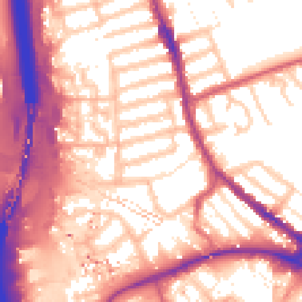
Daytime· 07:00 – 23:00
58.2dB

Everything within walking distance
Schools, transport stops and scenic spots near this property — 94 points of interest in total.
Beautiful places to visit nearby
Curated scenic spots within reach of this postcode, served by Beautifulplaces.ai. Photography and tagging come from their open dataset.
Common questions
The questions buyers, sellers and homeowners most often ask about 19 Fairfield Road, Ilford, IG1 2JL. Each answer is also embedded as structured data for search engines.