1 Rock Terrace, Hipperholme, Halifax, HX3 8PB
About 1 Rock Terrace
1 Rock Terrace is a property in Hipperholme, Halifax, Halifax (HX3 8PB). It has council tax band B.
2 planning records sit against the property, 1 approved, 1 refused. Past consents include tree works, meaningful when judging how the property has evolved.
Energy performance
No EPC on record
This property doesn't have an Energy Performance Certificate yet. An EPC is required to sell or let — and unlocks our automated valuation.
Get a survey for this property
Level 2 HomeBuyer Report
We've checked 10 risk factors against the available data for this property and believe a Level 2 HomeBuyer Report could be a suitable option for you.
Planning history
- Jun 2017ExtensionFullOutcome in report
Extension: Single storey · Rear of property
Conversion of existing coach house and associated outhouse to a residential dwelling including new rear extension at first floor level and addition of new chimney to the existing coach house.
- Documents
- 15 docs on file
- Reference
- 17/00440/FUL
- Jan 2005Tree WorksTreesOutcome in report
Prune two trees (Tree Preservation Order)
- Documents
- 3 docs on file
- Reference
- 04/20240/TPO
Sales history & valuation
No sales recorded with HM Land Registry
That can mean the property has never traded since the registry began publishing in 1995, was a new build that hasn't been registered yet, or is held in the same hands long-term.
Median price across the last 5 sales in HX3 8PB: £199,000 (2020–2003).
Nearby sales in HX3 8PB
3 Rock Terrace, Hipperholme, Halifax, HX3 8PB
Sold Nov 2020
£297,5002 Rock Terrace, Hipperholme, Halifax, HX3 8PB
Sold Jun 2020
£285,0004 Rock Terrace, Hipperholme, Halifax, HX3 8PB
Sold Aug 2012
£190,0005 Rock Terrace, Hipperholme, Halifax, HX3 8PB
Sold May 2004
£199,0006 Rock Terrace, Hipperholme, Halifax, HX3 8PB
Sold Jan 2003
£145,000
Similar properties nearby
The neighbourhood at a glance
Reported crime in the wider district is trending notably upward year-on-year.
Crime
3/mo
Rising year-on-year across the wider district.
Nearest stop
0.1 km
Leeds Rd The Drive — bus stop.
Closest school
0.5 km
Lightcliffe C of E Primary School. 16 schools nearby.
Road noise across the postcode
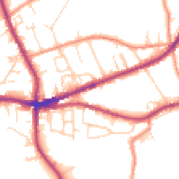
Daytime· 07:00 – 23:00
51.5dB

Night-time· 23:00 – 07:00
43.2dB