25 Abbeyfield Ing Royde, Broomfield Avenue, Halifax, HX3 0JE
About 25 Abbeyfield Ing Royde
25 Abbeyfield Ing Royde is a detached house in Halifax (HX3 0JE). It has a recorded floor area of 43 m² (around 463 sq ft). At 43 m² this is the smallest unit on EPC record across the building (43–68 m²). The building's EPC ratings span C to B, with this unit at the top. The latest certificate (May 2014) returns a B (score 81), comfortably above the UK average. The latest certificate is from May 2014, so improvements made since then won't be reflected.
At 43 m² it sits well below the postcode median (64 m² across 29 EPCs), making it one of the more compact homes locally.
Everything you need to know about 25 Abbeyfield Ing Royde
The true value, the hidden risks and the full sale history, in one report.
Pick your report · every report is £14.99
One time fee only - money back guarantee

The data behind every report


Energy performance
25 Abbeyfield Ing Royde's carbon output is low for the local stock.
EPC Expired
This certificate is over 10 years old and is no longer valid.Expired 22 May 2024
EPC Rating
Get a survey for this property
Level 2 HomeBuyer Report
We've checked 10 risk factors against the available data for this property and believe a Level 2 HomeBuyer Report could be a suitable option for you.
From £495 · Includes VAT
Planning history
25 Abbeyfield Ing Royde has no planning applications on record.
But the area is active
1 notable application nearby — larger schemes and conversions that could reshape the street. The report maps them all.
Sales history & valuation
25 Abbeyfield Ing Royde has no Land Registry sales on file, suggesting it has stayed in the same hands since registration began.
£178,000
Modelled from EPC, postcode comparables.
No sales recorded with HM Land Registry
That can mean the property has never traded since the registry began publishing in 1995, was a new build that hasn't been registered yet, or is held in the same hands long-term.
Median price across the last 5 sales in HX3 0JE: £180,000 (2024–2023).
Nearby sales in HX3 0JE
8 Abbeyfield Ing Royde, Broomfield Avenue, Halifax, HX3 0JE
Sold Dec 2024
£90,00018 Abbeyfield Ing Royde, Broomfield Avenue, Halifax, HX3 0JE
Sold Apr 2024
£225,00011 Abbeyfield Ing Royde, Broomfield Avenue, Halifax, HX3 0JE
Sold Apr 2024
£90,00012 Abbeyfield Ing Royde, Broomfield Avenue, Halifax, HX3 0JE
Sold Nov 2023
£223,0006 Abbeyfield Ing Royde, Broomfield Avenue, Halifax, HX3 0JE
Sold Mar 2023
£180,000
Versus other Broomfield Avenue homes
On floor area, 25 Abbeyfield Ing Royde runs well behind the street norm.
EPC Rating
81 (B)
Street avg 83 (B)
Floor Area
43 m²
Street avg 60 m²
CO₂ Emissions
1.0 t/year
Street avg 1.0 t/year
Everything you need to know about 25 Abbeyfield Ing Royde
The true value, the hidden risks and the full sale history, in one report.
Pick your report · every report is £14.99
One time fee only - money back guarantee
The data behind every report
Similar properties nearby
1 Abbotts Ladies Homes, Skircoat Green Road
HX3 0LA
1 Abbey Walk South
HX3 0AP
1 Cheltenham Place
HX3 0AW
1 Copley Mount
HX3 0TY
1 Copley Grove
HX3 0TZ
1 Abbeyfield Ing Royde, Broomfield Avenue
HX3 0JE
1 Dean Court
HX3 0UX
1 Delph Brow, Skircoat Moor Road
HX3 0GZ
The neighbourhood at a glance
Reported crime in the wider district is trending notably upward year-on-year.
Crime
3/mo
Rising year-on-year across the wider district.
Nearest stop
0.1 km
Birdcage Ln Kensington Road — bus stop.
Closest school
0.7 km
Copley Primary School. 29 schools nearby.
Go deeper on the local area
A Local Area report breaks down crime, transport links, schools and air quality in depth.
Road noise across the postcode
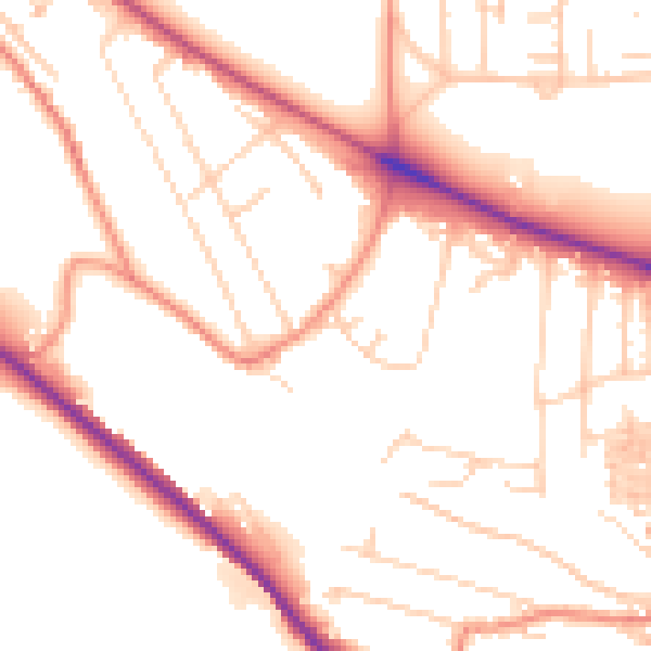
Daytime· 07:00 – 23:00
52.4dB

Night-time· 23:00 – 07:00
41.9dB