3 Barleigh Road, Hull, HU9 4TH
About 3 Barleigh Road
3 Barleigh Road is a four-bedroom detached house in Hull (HU9 4TH). It has a recorded floor area of 98 m² (around 1055 sq ft), construction records dating it to 1996-2002 and council tax band D. The latest certificate (April 2022) shows a C (score 70). When first surveyed in July 2010 the rating was D, the property has climbed 1 band since. Between certificates, window efficiency went from Average to Good and lighting went from Poor to Very Good. The recommended improvements would push it to B (score 82). Other recorded features include a conservatory.
It hasn't traded since October 2003, a hold of 23 years that's notably long for the area. Today's modelled estimate of £224,000 sits 66% above the 2003 sale of £134,950. Its energy rating outperforms most of the postcode (better than 78% of similar EPCs).
What this property has
Inside
- Bedrooms4
- Dining roomYes
- EnsuiteYes
- ConservatoryYes
Outside
- GarageIntegral
Building
- Central heatingYes
Everything you need to know about 3 Barleigh Road
The true value, the hidden risks and the full sale history, in one report.
Pick your report · from £14.99
One time fee only - money back guarantee

The data behind every report







Energy performance
EPC Rating
Certificate validity
Valid until 3 April 2032
Property Improvements
Changes detected from historical EPC data
Window efficiency improved
More low energy lighting installed

Get a survey for this property
Level 2 HomeBuyer Report
We've checked 10 risk factors against the available data for this property and believe a Level 2 HomeBuyer Report could be a suitable option for you.
From £545 · Includes VAT
Planning history
3 Barleigh Road has no planning applications on record.
But the area is active
2 notable applications nearby — larger schemes and conversions that could reshape the street. The report maps them all.
Sales history & valuation
3 Barleigh Road valuation sits well clear of the typical sold price in this postcode.
£224,000
Modelled from EPC, postcode comparables.
£134,950
Recorded with HM Land Registry.
Sales timeline
9 October 2003Most recent
£134,950
Median price across the last 5 sales in HU9 4TH: £239,000 (2025–2021).
Versus other Barleigh Road homes
3 Barleigh Road outperforms the street on co₂ emissions by a wide margin.
Price per m²
£1,377
Street avg £1,670
Floor Area
98 m²
Street avg 107 m²
Habitable Rooms
6 rooms
Street avg 6 rooms
CO₂ Emissions
3.5 t/year
Street avg 4.6 t/year
Everything you need to know about 3 Barleigh Road
The true value, the hidden risks and the full sale history, in one report.
Pick your report · from £14.99
One time fee only - money back guarantee
The data behind every report
Similar properties nearby
The neighbourhood at a glance
Crime
414/mo
Falling year-on-year across the wider district.
Nearest stop
0.2 km
Barleigh Road — bus stop.
Closest school
0.2 km
Maybury Primary School. 30 schools nearby.
Go deeper on the local area
A Local Area report breaks down crime, transport links, schools and air quality in depth.
Road noise across the postcode
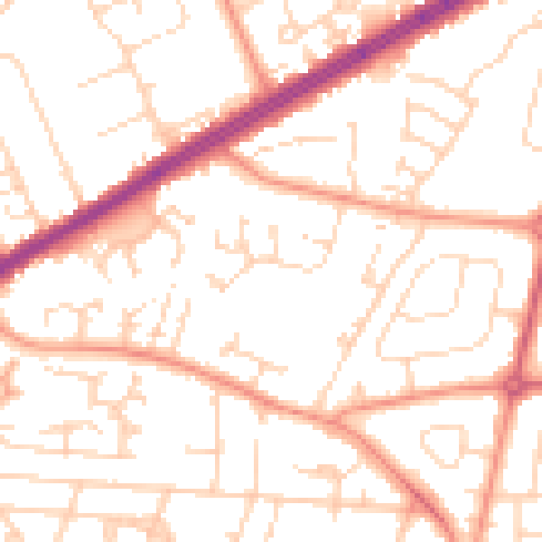
Daytime· 07:00 – 23:00
51.9dB
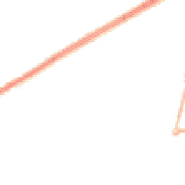
Night-time· 23:00 – 07:00
40.3dB