10 Holtby Avenue, Cottingham, HU16 4AF
About 10 Holtby Avenue
10 Holtby Avenue is a three-bedroom detached house in Cottingham (HU16 4AF). It has a recorded floor area of 94 m² (around 1013 sq ft) and council tax band D. The latest certificate (March 2012) returns a B (score 81), comfortably above the UK average. The latest certificate is from March 2012, so improvements made since then won't be reflected. Records show the property has been extended at some point in its history.
At 94 m² it's 22.2% larger than the typical home in the postcode (77 m² median across 42 EPCs). Across 2012–2018, sale prices on this property compounded at 2.6% per year. Today's modelled estimate of £300,000 is 17.6% above the 2018 sale price. On a £-per-square-foot basis, the last sale (£252/sq ft) was about 21.7% above the typical sold price in the postcode. Last changed hands 8 years ago, in February 2018.
What this property has
Inside
- Bedrooms3
- Bathrooms2
- Dining roomYes
- EnsuiteYes
Outside
- Private gardenRear
- GarageYes
Building
- Previously extendedYes
- RefurbishedYes
Everything you need to know about 10 Holtby Avenue
The true value, the hidden risks and the full sale history, in one report.
30-day money-back guarantee

The data behind every report


Energy performance
10 Holtby Avenue's EPC is over a decade old — improvements since won't be reflected.
EPC Expired
This certificate is over 10 years old and is no longer valid.Expired 05 Mar 2022
EPC Rating
Planning history
10 Holtby Avenue has no planning applications on record.
The full report still covers planning activity across the surrounding area.
Sales history & valuation
10 Holtby Avenue saw 3 transfers in just over a decade — high turnover for the postcode.
£300,000
Modelled from EPC, postcode comparables and a sale-price growth of 2.6% per year over 6 years.
£255,000
Growth on file: 2.6% per year over 6 years.
Sales timeline
2 February 2018Most recent
£255,000
+5.4%over 2 years23 December 2015
£242,000
+10.0%over 3 years14 May 2012
£219,999
Median price across the last 5 sales in HU16 4AF: £180,000 (2025–2023).
Nearby sales in HU16 4AF
Versus other Holtby Avenue homes
10 Holtby Avenue outperforms the street on price per m² by a wide margin.
Price per m²
£2,709
Street avg £2,138
Floor Area
94 m²
Street avg 82 m²
CO₂ Emissions
1.8 t/year
Street avg 1.8 t/year
Years Held
8 years
Street avg 10 years
Everything you need to know about 10 Holtby Avenue
The true value, the hidden risks and the full sale history, in one report.
30-day money-back guarantee
The data behind every report
Similar properties nearby
The neighbourhood at a glance
Daytime road noise here sits well below conversation level — a quiet pocket of the postcode.
Crime
4/mo
Steady year-on-year across the wider district.
Nearest stop
1.0 km
Cottingham Northgate — bus stop.
Closest school
1.1 km
Hallgate Primary School Cottingham. 12 schools nearby.
Go deeper on the local area
The full report breaks down crime, transport links, schools and air quality in depth.
Road noise across the postcode
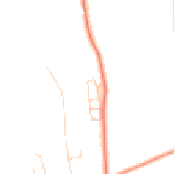
Daytime· 07:00 – 23:00
43.9dB

Night-time· 23:00 – 07:00
35.8dB