3 Thornbury Place, High Wycombe, HP11 1AY
About 3 Thornbury Place
3 Thornbury Place is a property in High Wycombe (HP11 1AY). It has council tax band G.
It hasn't traded since February 2009, a hold of 17 years that's notably long for the area. That sale fell during the post-crash dip, which often skews comparisons against later neighbouring sales. One planning record on file: a loft conversion approved in 2016. Past consents include a loft conversion, meaningful when judging how the property has evolved.
Know exactly what you're buying at 3 Thornbury Place
Before you offer, see what the listing won't tell you, the true value, the red flags and the full history.
Already flagged here
Valuation
against the asking price
Risks
planning & flood
Sold prices
similar homes nearby
Trends
the local market
Energy performance
No EPC on record
This property doesn't have an Energy Performance Certificate yet. An EPC is required to sell or let — and unlocks our automated valuation.
Planning history
- Nov 2016Loft ConversionFullIn report
Householder application for construction of roof extensions and alterations including x6 new rooflights and juliet balcony in connection with loft conversion
- Documents
- 8 docs on file
- Reference
- 16/07743/FUL
We flagged 2 things worth checking at 3 Thornbury Place
Independent checks surfaced things a buyer would want to understand before offering. The report explains each one in full, with the underlying data and what to ask.
- Signs of HMO activity in the area
- Larger development activity nearby
30-day money-back guarantee
Sales history & valuation
The latest sale fell during the post-2008 dip, often a low-water mark in price comparisons.
£555,000
Recorded with HM Land Registry.
Sales timeline
10 February 2009Most recent
£555,000
Median price across the last 5 sales in HP11 1AY: £700,000 (2016–2008).
Everything we know about 3 Thornbury Place, in one report
What it's really worth, what could be wrong, and the planning, sales and area data in full.
What we flagged
- Signs of HMO activity in the area
- Larger development activity nearby

Similar properties nearby
The neighbourhood at a glance
Crime
7/mo
Steady year-on-year across the wider district.
Nearest stop
0.3 km
St Michael's Campus — bus stop.
Closest school
0.2 km
St Michael's Catholic School. 19 schools nearby.
Go deeper on the local area
The full report breaks down crime, transport links, schools and air quality in depth.
Road noise across the postcode
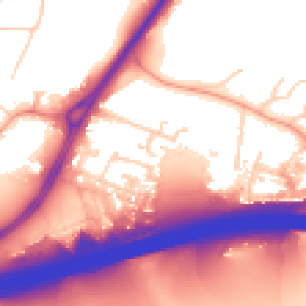
Daytime· 07:00 – 23:00
58.9dB

Night-time· 23:00 – 07:00
51.8dB