474 Wakefield Road, Huddersfield, HD5 8PS
About 474 Wakefield Road
474 Wakefield Road is a two-bedroom mid-terrace house in Huddersfield (HD5 8PS). It has a recorded floor area of 55 m² (around 592 sq ft), construction records dating it to before 1900 and council tax band A. The latest certificate (November 2024) shows a D (score 67), on the cusp of jumping into the C band. The recommended improvements would lift it to B (score 90), a 2-band jump.
It changed hands recently, sold June 2025 for £102,500. Today's modelled estimate of £137,000 is 33.7% above the 2025 sale price. On a £-per-square-foot basis, the last sale (£173/sq ft) was about 123.6% above the typical sold price in the postcode. At 55 m² it's 19.1% smaller than the typical home in the postcode (68 m² median across 22 EPCs).
What this property has
Inside
- Bedrooms2
- Bathrooms1
Everything you need to know about 474 Wakefield Road
The true value, the hidden risks and the full sale history, in one report.
Pick your report · every report is £14.99
One time fee only - money back guarantee

The data behind every report


Energy performance
Recommended upgrades on file would lift this property by multiple EPC bands.
EPC Rating
Get a survey for this property
Level 3 Building Survey
Because the property was built before 1919, we believe a Level 3 building survey should be considered.
From £820 · Includes VAT
Planning history
474 Wakefield Road has no planning applications on record.
But the area is active
5 notable applications nearby — larger schemes and conversions that could reshape the street. The report maps them all.
Sales history & valuation
474 Wakefield Road valuation sits well clear of the typical sold price in this postcode.
£137,000
Modelled from EPC, postcode comparables.
£102,500
Recorded with HM Land Registry.
Sales timeline
1 June 2025Most recent
£102,500
Median price across the last 5 sales in HD5 8PS: £80,000 (2025–2023).
Nearby sales in HD5 8PS
460 Wakefield Road, Huddersfield, HD5 8PS
Sold Oct 2025
£174,660448 Wakefield Road, Huddersfield, HD5 8PS
Sold Jan 2025
£73,000428 Wakefield Road, Huddersfield, HD5 8PS
Sold Nov 2023
£80,000440 Wakefield Road, Huddersfield, HD5 8PS
Sold Jan 2023
£188,000462 Wakefield Road, Huddersfield, HD5 8PS
Sold Jul 2021
£169,000
Versus other Wakefield Road homes
Years Held for 474 Wakefield Road lags the street by a wide margin.
Price per m²
£1,864
Street avg £1,252
Floor Area
55 m²
Street avg 74 m²
Habitable Rooms
3 rooms
Street avg 4 rooms
CO₂ Emissions
2.5 t/year
Street avg 3.7 t/year
Everything you need to know about 474 Wakefield Road
The true value, the hidden risks and the full sale history, in one report.
Pick your report · every report is £14.99
One time fee only - money back guarantee
The data behind every report
Similar properties nearby
1 Birkhouse Lane, Moldgreen
HD5 8BE
1 Beaumont Avenue
HD5 8HD
1 Beckside Gardens, Waterloo
HD5 8RS
1 Douglas Avenue, Moldgreen
HD5 8BH
1 Brian Avenue
HD5 8DX
1 Aimbry Court, Kaye Lane
HD5 8XP
1 Canby Grove
HD5 8QE
1 Daw Royds
HD5 8SJ
The neighbourhood at a glance
Crime
2/mo
Steady year-on-year across the wider district.
Nearest stop
0.1 km
Dalton Green Lane — bus stop.
Closest school
0.4 km
Dalton School. 17 schools nearby.
Go deeper on the local area
A Local Area report breaks down crime, transport links, schools and air quality in depth.
Road noise across the postcode
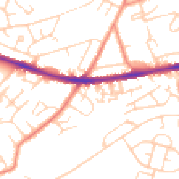
Daytime· 07:00 – 23:00
50.6dB

Night-time· 23:00 – 07:00
39.7dB