3 Norfield, Fixby, Huddersfield, HD2 2HD
About 3 Norfield
3 Norfield is a property in Fixby, Huddersfield, Huddersfield (HD2 2HD). It has council tax band F.
3 planning records sit against the property, 3 approved, 0 refused. Past consents include tree works, meaningful when judging how the property has evolved.
Energy performance
No EPC on record
This property doesn't have an Energy Performance Certificate yet. An EPC is required to sell or let — and unlocks our automated valuation.
Get a survey for this property
Level 2 HomeBuyer Report
We've checked 10 risk factors against the available data for this property and believe a Level 2 HomeBuyer Report could be a suitable option for you.
Planning history
- Mar 2021TreesOutcome in report
Work to TPOs 08/77
- Documents
- 2 docs on file
- Reference
- 2021/90319
- Jun 2020TreesOutcome in report
Work to TPO 08/77
- Documents
- 4 docs on file
- Reference
- 2020/91197
Sales history & valuation
No sales recorded with HM Land Registry
That can mean the property has never traded since the registry began publishing in 1995, was a new build that hasn't been registered yet, or is held in the same hands long-term.
Median price across the last 5 sales in HD2 2HD: £295,000 (2024–1996).
Similar properties nearby
The neighbourhood at a glance
Reported crime in the wider district is trending notably upward year-on-year.
Crime
5/mo
Rising year-on-year across the wider district.
Nearest stop
0.1 km
Broomfield Road Northfield — bus stop.
Closest school
0.3 km
Fixby Junior and Infant School. 20 schools nearby.
Road noise across the postcode
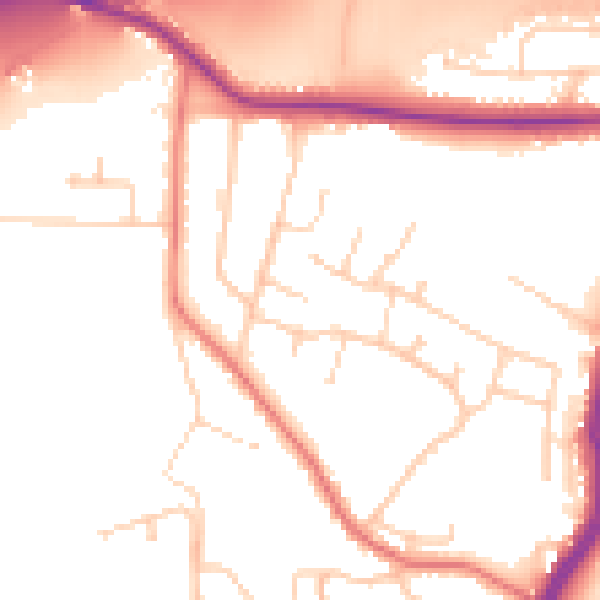
Daytime· 07:00 – 23:00
51.2dB

Night-time· 23:00 – 07:00
42.6dB