29 Abbey Road, Huddersfield, HD2 1BB
About 29 Abbey Road
29 Abbey Road is a two-bedroom end-of-terrace house in Huddersfield (HD2 1BB). It has a recorded floor area of 66 m² (around 710 sq ft), construction records dating it to 1930-1949 and council tax band A. The latest certificate (October 2014) shows a D (score 63), on the cusp of jumping into the C band. The recommended improvements would lift it to B (score 88), a 2-band jump. The latest certificate is from October 2014, so improvements made since then won't be reflected.
Today's modelled estimate of £126,000 is 32.6% above the 2022 sale price. On a £-per-square-foot basis, the last sale (£134/sq ft) was about 21.8% above the typical sold price in the postcode. Last sale on file: £95,000 in February 2022. That sale was during the post-pandemic price surge, when transactions cleared materially above pre-2020 trend.
What this property has
Inside
- Bedrooms2
- Bathrooms1
Outside
- Private gardenYes
- GarageYes
Building
- Heating systemElectric
Everything you need to know about 29 Abbey Road
The true value, the hidden risks and the full sale history, in one report.
Pick your report · every report is £14.99
One time fee only - money back guarantee

The data behind every report


Energy performance
Recommended upgrades on file would lift this property by multiple EPC bands.
EPC Expired
This certificate is over 10 years old and is no longer valid.Expired 16 Oct 2024
EPC Rating
Get a survey for this property
Level 2 HomeBuyer Report
We've checked 10 risk factors against the available data for this property and believe a Level 2 HomeBuyer Report could be a suitable option for you.
From £495 · Includes VAT
Planning history
29 Abbey Road has no planning applications on record.
But the area is active
1 notable application nearby — larger schemes and conversions that could reshape the street. The report maps them all.
Sales history & valuation
The latest sale landed in the post-pandemic price surge — useful context when reading the figure.
£126,000
Modelled from EPC, postcode comparables.
£95,000
Recorded with HM Land Registry.
Sales timeline
24 February 2022Most recent
£95,000
Median price across the last 5 sales in HD2 1BB: £96,000 (2024–2021).
Nearby sales in HD2 1BB
Versus other Abbey Road homes
29 Abbey Road outperforms the street on price per m² by a wide margin.
Price per m²
£1,439
Street avg £1,309
Floor Area
66 m²
Street avg 65 m²
Habitable Rooms
4 rooms
Street avg 4 rooms
CO₂ Emissions
3.2 t/year
Street avg 2.7 t/year
Everything you need to know about 29 Abbey Road
The true value, the hidden risks and the full sale history, in one report.
Pick your report · every report is £14.99
One time fee only - money back guarantee
The data behind every report
Similar properties nearby
The neighbourhood at a glance
Reported crime in the wider district is trending notably upward year-on-year.
Crime
5/mo
Rising year-on-year across the wider district.
Nearest stop
0.0 km
Abbey Road — bus stop.
Closest school
0.6 km
Birkby Junior School. 24 schools nearby.
Go deeper on the local area
A Local Area report breaks down crime, transport links, schools and air quality in depth.
Road noise across the postcode
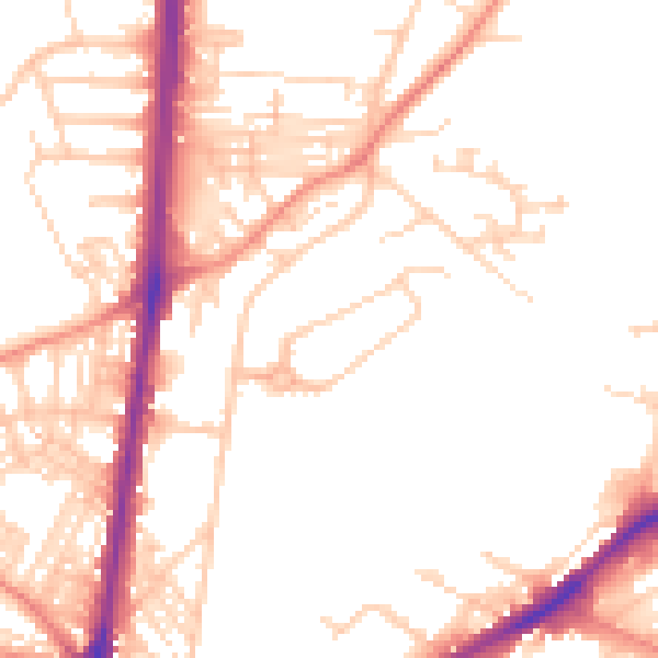
Daytime· 07:00 – 23:00
51.5dB

Night-time· 23:00 – 07:00
40.8dB