9 High Worple, Harrow, HA2 9SJ
About 9 High Worple
9 High Worple is a three-bedroom semi-detached house in Harrow (HA2 9SJ). It has a recorded floor area of 91 m² (around 980 sq ft), construction records dating it to 1930-1949 and council tax band D. The latest certificate (March 2025) shows a D (score 63), on the cusp of jumping into the C band. The recommended improvements would lift it to B (score 86), a 2-band jump. Records show the property has been extended at some point in its history.
It hasn't traded since February 2004, a hold of 22 years that's notably long for the area. Today's modelled estimate of £579,000 sits 131.6% above the 2004 sale of £249,950. On a £-per-square-foot basis, the last sale (£255/sq ft) was about 28% below the postcode norm.
Know exactly what you're buying at 9 High Worple
Before you offer, see what the listing won't tell you, the true value, the red flags and the full history.
Valuation
against the asking price
Risks
planning & flood
Sold prices
similar homes nearby
Trends
the local market
What this property has
Inside
- Bedrooms3
- Bathrooms2
- Utility roomYes
- CloakroomYes
Outside
- GarageYes
Building
- Previously extendedYes
Energy performance
Recommended upgrades on file would lift this property by multiple EPC bands.
EPC Rating
Planning history
9 High Worple has no planning applications on record.
Notable planning nearby
2applications of note in the surrounding area
Sales history & valuation
9 High Worple valuation sits well clear of the typical sold price in this postcode.
£579,000
Modelled from EPC, postcode comparables.
£249,950
Recorded with HM Land Registry.
Sales timeline
12 February 2004Most recent
£249,950
Median price across the last 5 sales in HA2 9SJ: £460,000 (2022–2006).
Everything we know about 9 High Worple, in one report
What it's really worth, what could be wrong, and the planning, sales and area data in full.
- Am I paying too much?
- Is something wrong with it?
- Is the agent's story true?
- Will it hold its value?

Versus other High Worple homes
9 High Worple is notably below the street on price per m².
Price per m²
£2,747
Street avg £4,422
Floor Area
91 m²
Street avg 104 m²
Habitable Rooms
4 rooms
Street avg 5 rooms
CO₂ Emissions
4.0 t/year
Street avg 4.4 t/year
Similar properties nearby
1 High Worple
HA2 9SJ
1 Lulworth Close
HA2 9NR
1 Exeter Road
HA2 9PS
1 Minehead Road
HA2 9DW
1 Capthorne Avenue
HA2 9NF
1 Barn Mews, Tithe Farm Avenue
HA2 9AE
1 Lulworth Gardens
HA2 9NW
1 Brookside Close, South Harrow
HA2 9AW
The neighbourhood at a glance
Rail-style transport is unusually close for this postcode.
Crime
6/mo
Rising year-on-year across the wider district.
Nearest stop
0.1 km
Rayners Lane Underground Station — subway entrance.
Closest school
0.6 km
Newton Farm Nursery, Infant and Junior School. 39 schools nearby.
Go deeper on the local area
The full report breaks down crime, transport links, schools and air quality in depth.
Road noise across the postcode
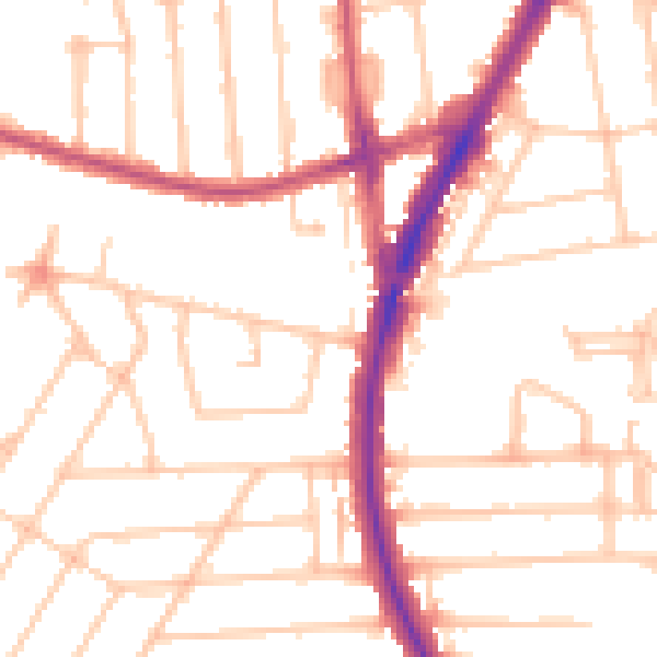
Daytime· 07:00 – 23:00
51.0dB

Night-time· 23:00 – 07:00
40.0dB