9 Fentiman Way, Harrow, HA2 8FD
About 9 Fentiman Way
9 Fentiman Way is a two-bedroom end-of-terrace house in Harrow (HA2 8FD). It has a recorded floor area of 71 m² (around 764 sq ft), construction records dating it to 1996-2002 and council tax band C. At 71 m² this is the 14th smallest of 28 units on EPC record in the building, where floor areas span 42–89 m². The building's EPC ratings span D to B across 28 units on file. Other recorded features include a balcony. The latest certificate (July 2014) shows a C (score 77), near the top of the C band. The latest certificate is from July 2014, so improvements made since then won't be reflected.
Across 2005–2023, sale prices on this property compounded at 1.9% per year. On a £-per-square-foot basis, the last sale (£406/sq ft) was about 30.3% above the typical sold price in the postcode. Sold March 2023 for £310,000.
Know exactly what you're buying at 9 Fentiman Way
Before you offer, see what the listing won't tell you, the true value, the red flags and the full history.
Already flagged here
Valuation
against the asking price
Risks
planning & flood
Sold prices
similar homes nearby
Trends
the local market
What this property has
Inside
- Bedrooms2
- Bathrooms1
- Open-plan layoutYes
- Dining roomYes
Outside
- ParkingAllocated
- BalconyYes
Building
- Heating systemGas
Energy performance
9 Fentiman Way's EPC is over a decade old — improvements since won't be reflected.
EPC Expired
This certificate is over 10 years old and is no longer valid.Expired 23 Jul 2024
EPC Rating
Planning history
9 Fentiman Way has no planning applications on record.
Notable planning nearby
8applications of note in the surrounding area
We flagged 2 things worth checking at 9 Fentiman Way
Independent checks surfaced things a buyer would want to understand before offering. The report explains each one in full, with the underlying data and what to ask.
- Signs of HMO activity in the area
- Larger development activity nearby
30-day money-back guarantee
Sales history & valuation
9 Fentiman Way valuation sits well clear of the typical sold price in this postcode.
£324,000
Modelled from EPC, postcode comparables and a sale-price growth of 1.9% per year over 18 years.
£310,000
Growth on file: 1.9% per year over 18 years.
Sales timeline
20 March 2023Most recent
£310,000
+40.9%over 17 years5 June 2005
£219,950
Median price across the last 5 sales in HA2 8FD: £328,500 (2024–2022).
Everything we know about 9 Fentiman Way, in one report
What it's really worth, what could be wrong, and the planning, sales and area data in full.
What we flagged
- Signs of HMO activity in the area
- Larger development activity nearby

Versus other Fentiman Way homes
On years held, 9 Fentiman Way runs well behind the street norm.
Price per m²
£4,366
Street avg £3,971
Floor Area
71 m²
Street avg 67 m²
Habitable Rooms
3 rooms
Street avg 3 rooms
CO₂ Emissions
1.7 t/year
Street avg 1.5 t/year
Similar properties nearby
1 Fentiman Way
HA2 8FD
1 Barnetts Court, Corbins Lane
HA2 8EU
1 Ivy Close
HA2 8RX
1 Bridge Court, Stanley Road
HA2 8FB
1 Corbins Lane
HA2 8EL
1 Cadogan Close
HA2 8JR
1 Brendon Gardens
HA2 8NE
1 Hadleigh Close
HA2 8FA
The neighbourhood at a glance
Rail-style transport is unusually close for this postcode.
Crime
6/mo
Rising year-on-year across the wider district.
Nearest stop
0.4 km
Coles Crescent — bus stop.
Closest school
0.4 km
Grange Primary School. 36 schools nearby.
Go deeper on the local area
The full report breaks down crime, transport links, schools and air quality in depth.
Road noise across the postcode
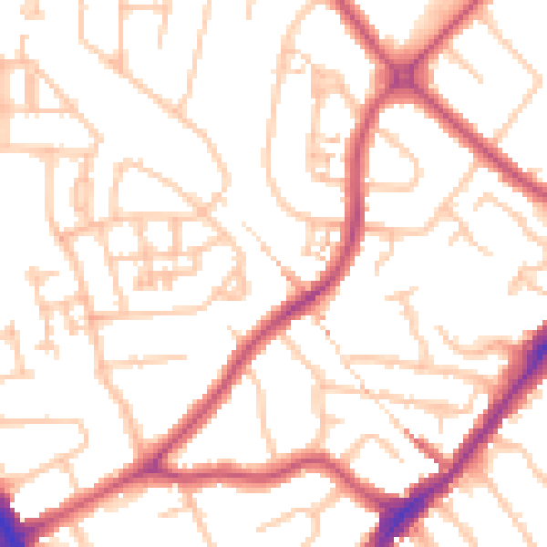
Daytime· 07:00 – 23:00
51.7dB

Night-time· 23:00 – 07:00
40.1dB