12 Shaftesbury Circle, Shaftesbury Avenue, South Harrow, Harrow, HA2 0AG
About 12 Shaftesbury Circle
12 Shaftesbury Circle is a two-bedroom mid-terrace house in South Harrow, Harrow, Harrow (HA2 0AG). It has a recorded floor area of 59 m² (around 635 sq ft), construction records dating it to 1950-1966 and council tax band C. The latest certificate (August 2025) shows a C (score 72). When first surveyed in August 2011 the rating was D, the property has climbed 1 band since. Between certificates, window efficiency went from Very Poor to Average and lighting went from Good to Very Good. At 59 m² this is the 5th smallest of 14 units on EPC record in the building, where floor areas span 36–70 m². The building's EPC ratings span D to B across 14 units on file.
Untraded for 26 years, with the last transfer in August 2000. Only one transfer is on record with HM Land Registry, suggesting it has stayed in the same hands for a long time. Today's modelled estimate of £289,000 sits 204.4% above the 2000 sale of £94,950. On a £-per-square-foot basis, the last sale (£150/sq ft) was about 33.3% below the postcode norm. One planning record on file: new windows approved in 2010. Past consents include new windows, meaningful when judging how the property has evolved.
Know exactly what you're buying at 12 Shaftesbury Circle
Before you offer, see what the listing won't tell you, the true value, the red flags and the full history.
Already flagged here
Valuation
against the asking price
Risks
planning & flood
Sold prices
similar homes nearby
Trends
the local market
What this property has
Inside
- Bedrooms2
Energy performance
EPC Rating
Property Improvements
Changes detected from historical EPC data
Heating controls upgraded for better temperature management
Single glazing replaced with double or better glazing
More low energy lighting installed
Wall insulation improved
Planning history
- Sept 2010RenovationFullIn report
Replace existing windows and balcony doors with double glazed aluminium windows and balcony doors
New Windows- Reference
- P/2011/10
We flagged 2 things worth checking at 12 Shaftesbury Circle
Independent checks surfaced things a buyer would want to understand before offering. The report explains each one in full, with the underlying data and what to ask.
- Signs of HMO activity in the area
- Larger development activity nearby
30-day money-back guarantee
Sales history & valuation
12 Shaftesbury Circle's estimated value is more than triple its earliest registered sale price (2000).
£289,000
Modelled from EPC, postcode comparables.
£94,950
Recorded with HM Land Registry.
Sales timeline
24 August 2000Most recent
£94,950
Median price across the last 5 sales in HA2 0AG: £245,000 (2024–2012).
Nearby sales in HA2 0AG
26 Shaftesbury Circle, Shaftesbury Avenue, South Harrow, Harrow, HA2 0AG
Sold Mar 2024
£245,00025 Shaftesbury Circle, Shaftesbury Avenue, South Harrow, Harrow, HA2 0AG
Sold Apr 2023
£285,00014 Shaftesbury Circle, Shaftesbury Avenue, South Harrow, Harrow, HA2 0AG
Sold Aug 2017
£300,00021 Shaftesbury Circle, Shaftesbury Avenue, South Harrow, Harrow, HA2 0AG
Sold Dec 2006
£209,95027 Shaftesbury Circle, Shaftesbury Avenue, South Harrow, Harrow, HA2 0AG
Sold Jul 2005
£152,000
Everything we know about 12 Shaftesbury Circle, in one report
What it's really worth, what could be wrong, and the planning, sales and area data in full.
What we flagged
- Signs of HMO activity in the area
- Larger development activity nearby

Versus other Shaftesbury Circle homes
On price per m², 12 Shaftesbury Circle runs well behind the street norm.
Price per m²
£1,609
Street avg £3,256
Floor Area
59 m²
Street avg 60 m²
Habitable Rooms
3 rooms
Street avg 3 rooms
CO₂ Emissions
1.9 t/year
Street avg 2.2 t/year
Similar properties nearby
1 Athena Close, Byron Hill Road
HA2 0JB
1 Abbots Drive
HA2 0RE
1 Crown Street
HA2 0HT
1 Blake House, Cottage Close
HA2 0HG
1 Cowen Avenue
HA2 0LU
1 Emerald Court, Drinkwater Road
HA2 0FR
1 Abbotts Court, Ashbourne Avenue
HA2 0LE
1 Clonmel Close
HA2 0JZ
The neighbourhood at a glance
Rail-style transport is unusually close for this postcode.
Crime
6/mo
Rising year-on-year across the wider district.
Nearest stop
0.0 km
Porlock Avenue — bus stop.
Closest school
0.1 km
Whitmore High School. 40 schools nearby.
Go deeper on the local area
The full report breaks down crime, transport links, schools and air quality in depth.
Road noise across the postcode
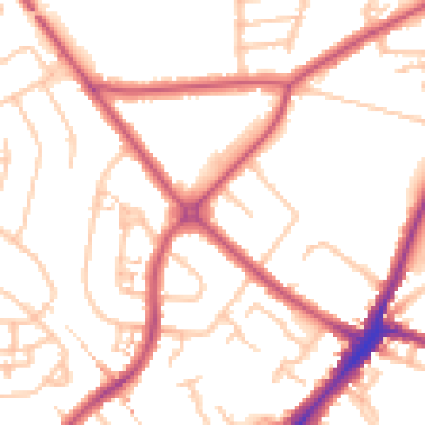
Daytime· 07:00 – 23:00
51.4dB

Night-time· 23:00 – 07:00
40.3dB